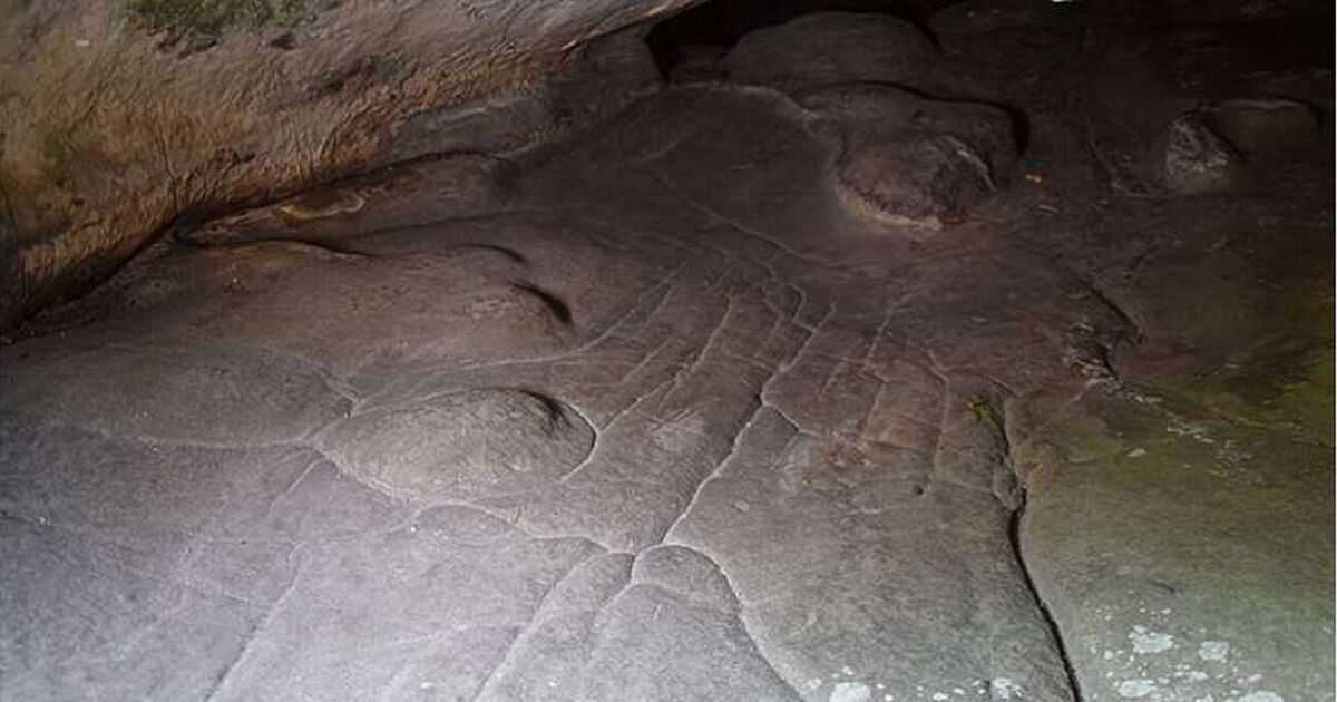
Archaeologists have made the remarkable discovery of what is believed to be the world’s oldest three-dimensional map.
This remarkable “map” was found etched into the surface of a sandstone rock shelter named Segognole 3, just south of Paris.
Known since the 1980s for its ancient engravings, including two horses and what looks like a depiction of a woman, Segognole 3 has been hiding another archaeological treasure.
According to findings published in the revered Oxford Journal of Archaeology, it turns out this site also boasts a miniature carved representation of the nearby landscape, incorporated into the floor of the shelter.
Believed to have been carved approximately 13,000 years ago, this artefact may stand as an unprecedented Paleolithic 3D model of a territory.
The Paleolithic era, or Old Stone Age, marks humanity’s earliest and most prolonged prehistoric period, spanning from about 3.3/2.5 million years ago until roughly 12,000 years ago.
The study indicates that the engraved 3D model within the rock shelter was intentionally sculpted to mirror the natural watercourses and characteristics of the local area.
Study author Anthony Milnes said: “What we’ve described is not a map as we understand it today – with distances, directions, and travel times – but rather a three-dimensional miniature depicting the functioning of a landscape, with run-off from highlands into streams and rivers, the convergence of valleys, and the downstream formation of lakes and swamps.
“For Paleolithic peoples, the direction of water flows and the recognition of landscape features were likely more important than modern concepts like distance and time.
“Our study demonstrates that human modifications to the hydraulic behavior in and around the shelter extended to modelling natural water flows in the landscape in the region around the rock shelter.
“These are exceptional findings and clearly show the mental capacity, imagination and engineering capability of our distant ancestors.”
The breakthrough was made when study lead author Medard Thiry from the Mines Paris PSL Center of Geosciences identified several fine-scale morphological features that could not have been naturally occurring, suggesting they were crafted by prehistoric humans.
He said: “Our research showed that Paleolithic humans sculpted the sandstone to promote specific flow paths for infiltrating and directing rainwater, which is something that had never been recognised by archaeologists.
“The fittings probably have a much deeper, mythical meaning, related to water.”


