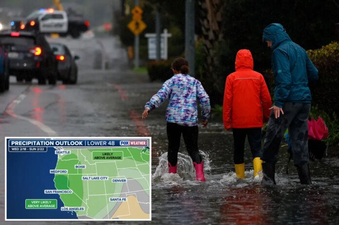
Many rounds of mountain snow and heavy rain are brewing for the West, providing more relief to the current drought conditions that is plaguing multiple states with the worst snow drought in decades.
This is seen in the Upper Colorado Basin, which is facing an all-time record low amount of snow for this time of year.
In Salt Lake City, UT, it has been 330 days since the city has seen 1 inch of snow, while in Grand Junction, CO, it has been 442 days.
It is expected that a large dip in the jet stream will stall over the West starting Sunday, allowing for an active weather pattern to kick in.
This opens the door for multiple storms to bring in much-welcome snow to the mountains and rain to the lowlands.
The system will begin in California as a strong area of low pressure will slam the region. At the same time, the system will fuel multiple subsequent storms that will funnel in more heavy rain.
The FOX Forecast Center predicts rounds of snow through the end of next week, with some areas in the mountains expected to see extreme totals of feet of snow in the double-digits.
This will provide critical relief to the snow-starved regions across the Sierra, Rockies, Colorado Basins and Wasatch ranges.
In the lower elevations, such as Southern California, heavy rain is expected starting early in the week.
Los Angeles, CA and San Diego, CA could see up to 5 inches of rain, potentially causing flash flooding. This is especially likely near burn scars from last year’s devastating wildfires.
As for right now, there is only a ¼ flash flood threat in place.
Even after this storm passes, the NOAA Climate Prediction Center predicts that much of the West will continue to see an above-average amount of precipitation through the end of February.


