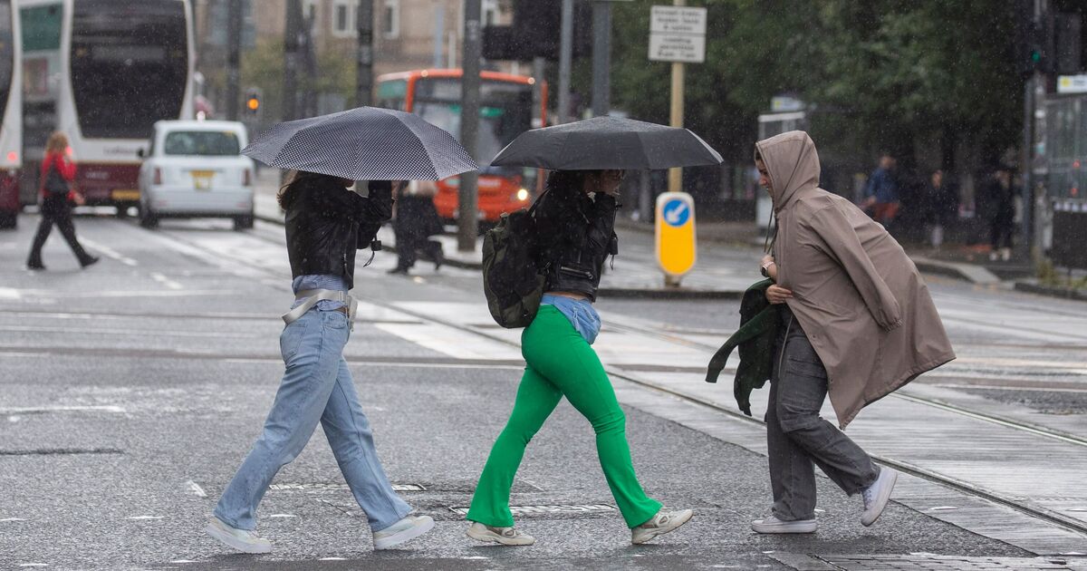
The UK is enjoying clear skies after Storm Floris battered Britain with wind and rain – but new weather maps show when England’s next deluged by serious summer showers. Floris became the sixth named storm of the 2024/25 season and the first since January’s devastating Storm Éowyn.
It followed the UK’s fifth warmest July on record and the first day of July 2025 brought the highest temperature of the year so far, with 35.8C in Faversham, Kent. Now after a prolonged period of clear skies, new WXCharts weather maps and BBC forecast all agree on one thing – that a six-day dry spell will start to change for parts of England from Tuesday 12th August.
And by Thursday 14th August London, the home counties and Wales will see serious showers breaking through – before another hot mini-heatwave spell is expected to bake Britain again.
New heat maps from WXCharts.com show the mercury is set to soar into the mid-30s Celsius for some areas on Sunday August 17th.
And Gloucester is set to the UK’s hotspot spiking at a scorching 35C, with South Wales, Gloucestershire, Wiltshire, Hampshire, Berkshire, Oxfordshire and Buckinghamshire all reaching 34C.
Meanwhile swathes of southern England, the Midlands, East Anglia and north up to Hull will all see 30C-plus heat which will extend into Monday 18th August too.
All four UK nations recorded one of their 10 warmest Julys, and July was the sixth consecutive month of above-average mean temperatures for the UK, the Met Office said.
The Met Office’s forecast for London for the rest of this week reveals some fine weather with little or no chance of rain.
Wednesday night will be “fine and dry with hazy sunshine through the evening. Becoming a little breezier overnight, with some clear spells in the small hours. Likely remaining dry. Minimum temperature 12 °C.”
Thursday is expected to also be a “dry and bright morning with some sunny intervals. Increasingly cloudy in the afternoon, mostly dry with a chance of light rain or showers later. Breezy. Temperatures around average. Maximum temperature 24 °C.”
While Friday to Sunday are “largely dry, with plenty of sunny spells and a little patchy cloud at times. Breezy initially, winds falling light through the weekend. Temperatures rising above average.”
Looking ahead to next week across the UK, the weather is expected to keep improving.
The long-range forecast from Monday 11th August to 20th August says: “Low pressure will probably move northeast over the UK in a rather erratic manner at the start of this period, bringing some potentially heavy rain and a small chance of strong winds to northwestern areas.
“Ahead of this, hot and humid conditions are possible across parts of England in particular, though the longevity and extent of any hot weather are uncertain at the moment.
“Looking towards mid-August, and high pressure is more likely to dominate the weather across the UK.
“This will bring plenty of dry weather for the most part, though northern areas may see a rather more changeable theme with occasional rain or showers and breezier conditions at times.
“Above average temperatures are more likely than not, especially in the south, where it could also be rather humid.”

