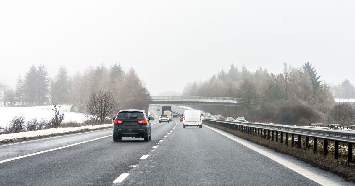

New UK weather maps show up to two inches (5cm) of snow is set to fall over five counties within hours. Snow develops on Friday night in part of central Scotland before spreading on Saturday and Sunday, according to maps generated today by WX Charts.
The maps show parts of the Highlands, Moray, Aberdeenshire, Perth & Kinross and possibly the north of Argyll & Bute seeing snow this weekend. It also looks like it will be a cold and pretty wet weekend as rain pushes in off the Atlantic.
Minimum temperatures could dip as low as 0C in parts of western Scotland overnight on October 25, while across the UK, many of us will see a chilly start to Sunday with lows ranging from 1-4C, according to WX Charts.
While WXCharts’ maps show snow falling in parts of northern Britain this weekend, the Met Office’s five-day forecast doesn’t mention any.
The forecaster said on Thursday that the outlook for Saturday through to Monday (October 27) is for a colder feel at the start of the weekend with scattered showers.
These will be wintry over high ground in Scotland, while it will be wet across western parts of Britain on Sunday and into Monday. Winds will pick up again too, according to the Met Office.
Nick Finnis, senior forecaster at Netweather, said it will be “on the chilly side” through the weekend as low pressure to the east and high pressure to the west of Ireland pulls a cool north-northwesterly across the UK.
Mr Finnis said: “Clear skies under a polar flow Saturday night will allow temperatures to fall into low single figures widely away from coasts, so we are likely to see at least a ground frost in rural areas by dawn on Sunday.
“A cold start to Sunday, then a mostly dry bright or sunny day, bar coastal showers, before cloud and outbreaks of rain look to spill southeast across many areas during the evening.”
Next week looks set to be changeable, with bands of rain coming from the Atlantic, moving across the country, according to the Met Office.
The forecaster said the wettest and windiest conditions are likely to be across the northwest with some decent, drier periods across the south and east.
Around the end the month or into early November, wetter and windier conditions across the north and west are likely to extend more widely across the UK, though there is some uncertainty about when this will happen, the Met Office said.
