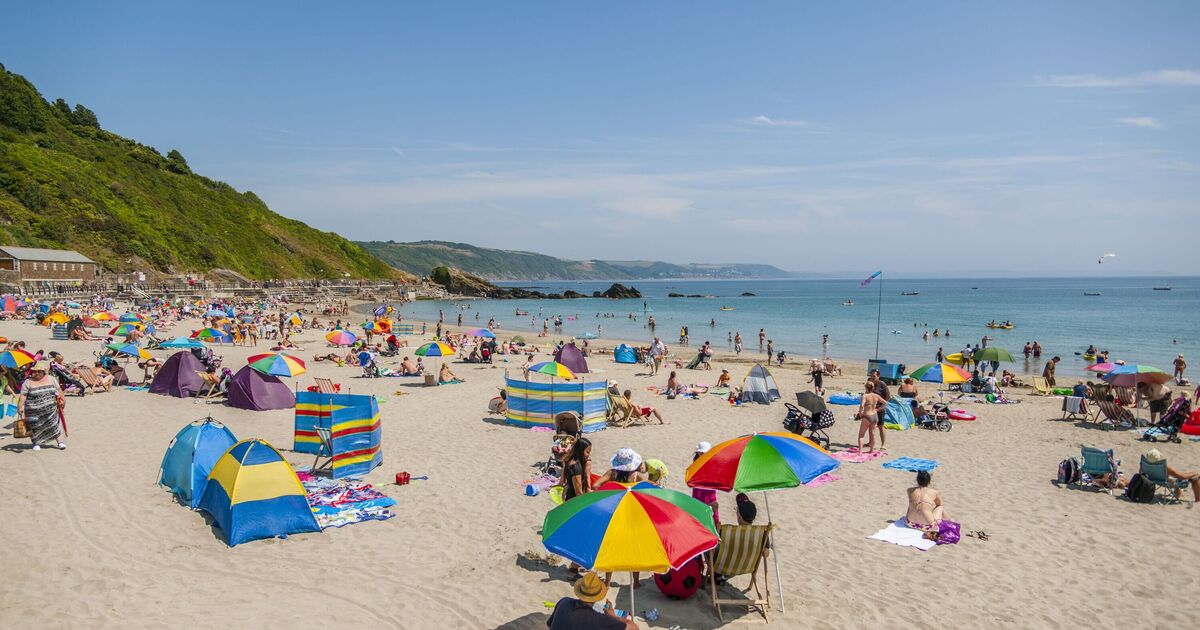

The UK is set to see more hot weather with another wave of 30C highs forecast. Weather maps are turning red as WXCharts forecasts high temperatures to sweep across England next week.
On August 13, it will be hottest in Cambridge and Maidstone at 32C. It will be between 30C and 31C in London, Brighton, Southampton, Bath, Oxford, Worcester, Birmingham, Northampton, Peterborough, Nottingham, and Lincoln. Norwich, Ipswich, Canterbury, Plymouth, Exeter, Wrexham, Cardiff, Liverpool, Manchester, Stoke, and Leeds will be between 25C and 29C. Truro, Conwy, Newcastle, and Middlesbrough will be between 20C and 24C, while Bangor, Carlisle, Belfast, Derry, Edinburgh, and Glasgow will be between 15C and 19C. The coldest part of the country will be north Scotland, with highs of between 10C and 14C in Aberdeen, Inverness, Fort William, and Wick.
The Met Office said of the period: “This period likely starts with something of a north-south split. Some locally heavy rain or showers, with a risk of thunder, will likely affect the north, along with some strong winds, whilst the south looks like starting mainly dry with some warm sunshine and lighter winds.
“There is a chance of some rain or showers even in the south, but more likely it will be mainly dry and warm here. Temperatures will probably be close to average in the north at first.
“As we move towards the middle of the month, there is an increased chance of high pressure becoming more dominant, leading to drier, more settled conditions becoming more widespread with above-average temperatures. However, some brief unsettled spells remain possible, particularly towards the end of this period.”
Tonight: Rain in the southeast to begin with but slowly clearing. Clear spells with some shower in the north. Staying windy here but slowly easing by the early morning.
Tuesday: Staying blustery across the north with some showers in the northwest to start, becoming more widespread across northern areas. These ease later, but feeling cooler than in recent days.
Outlook for Wednesday to Friday: Drier and warmer on Wednesday with lighter winds. Generally cloudier again on Thursday with outbreaks of rain for some. Showers continuing in the north on Friday.
