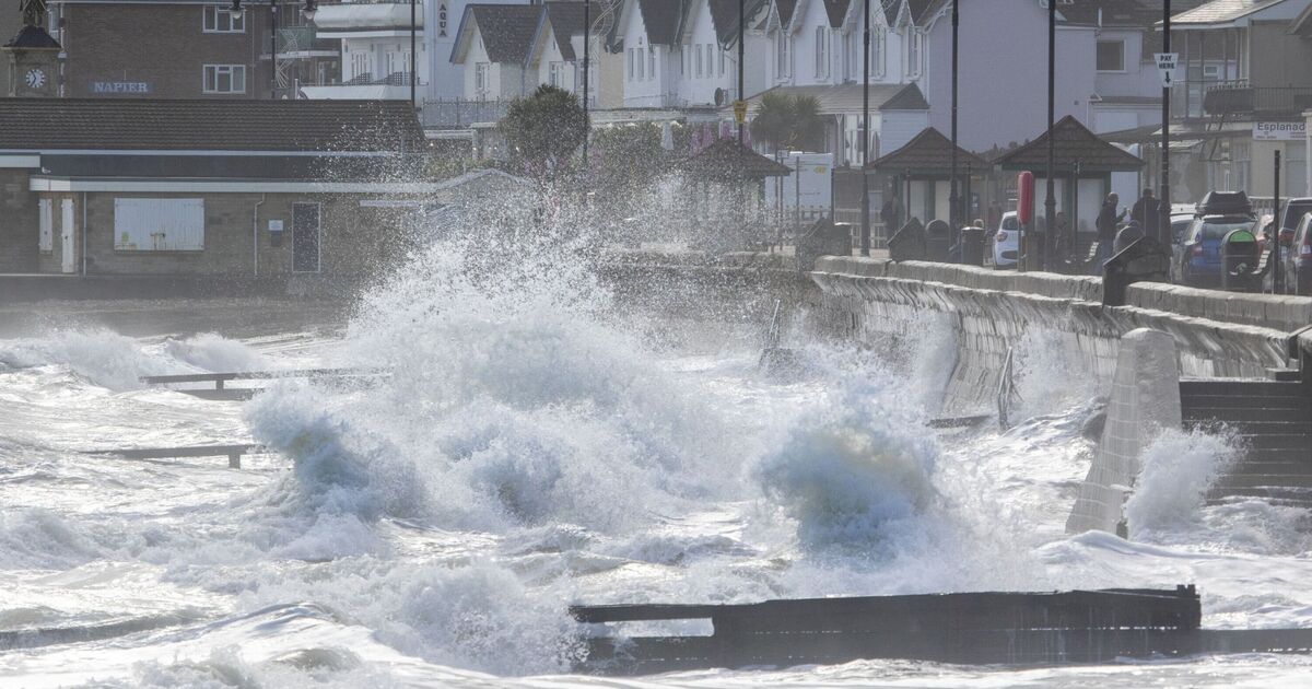
A massive 486-mile Atlantic storm is likely to crash into the UK leaving England and Wales “disappear” in heavy rainshowers. According to the weather maps, the unsettled conditions will hit the country on September 13 with many parts of Britain experiencing “thunderstorms and hail”.
The maps from WXCharts which are prepared using the MetDesk data have dramatically turned bright orange, green and yellow pointing at the possibility of wet and windy weather conditions. According to the charts, the stormy condition will begin to enter the country at around 6am on September 13. By the evening of September 13, the whole of England and Wales will be covered under the huge-wall of rain as the storm takes a grip on most areas of the UK.
Areas around Birmingham, Coventry, Leicester, Gloucester, Northampton, Oxford, Hereford, Stratford-upon-Avon will be the worst impacted with a possibility of 5-10mm rainfall per hour.
The temperature levels will oscillate between 11 and 12C in these areas as heavy rainshowers continue to cause some chaos. The maps suggest that by midnight, the stormy conditions will begin to move northwards before making an exit from the country.
The stormy weather will take more areas of the country into its grip as wet conditions to leave areas around Edinburgh, Newcastle, Glasgow, Middlesborough, Dumfries, Wick, Inverness and Aberdeen drenched.
The unsettled conditions which are likely to continue for almost 36 hours will end at 6pm on September 14, the weather maps have suggested.
The weather maps come datys after the Met Office issued a yellow warning of thunderstorm for several parts of the country. The Met Office said there was the possibility of damage to buildings and other structures, while the conditions could also lead to delays on the roads and trains.
The Met Office’s long-range forecast between September 10 and 19 aligns with the weather maps. According to the National Weather Agency, heavy rain showers will impact most parts of the country during this period.
“Much of this period will be unsettled, with low pressure dominating the pattern. This will mean showers or longer spells of rain will affect most of the UK at times.
“Some heavy rain or showers are expected in places, most often in the west and north. Thunderstorms and hail are also possible, as are some spells of strong winds, especially if any deep areas of low pressure develop and affect the UK.
“Later in the period, there may be some longer spells of drier weather that develop, especially towards the south, with more in the way of sunshine due to higher pressure.
“Temperatures will likely be close to average or slightly below overall, but may rise above at times in any drier, sunnier spells.”

