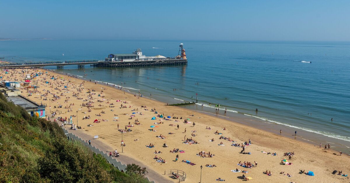
Warmer weather is finally making its way back to the UK after summer temperatures had cooled. Brits are set to face a four day heatwave from August 11 to 14 with areas showing temperatures of 30C or more on maps.
Maps from WXCHARTS show that on Monday, August 11, at 3 p.m., large parts of England, mostly in the south and the Midlands, will see temperatures of up to 30C. The hottest temperatures will be seen in Bristol and Gloucester.
As for Wales, temperatures will range from 18C to 28C and in the north of England, cooler temperatures of 19C to 20C will be seen. In Scotland, some areas will see as low as 12C.
By Tuesday August 12 at 6pm, temperatures will be generally warmer with the lowest temperature in the UK to be 19C. This slightly cooler weather will be seen in the north of Scotland and the north of Wales.
On Wednesday, August 13, at 12 noon, London, the Midlands, and the east of England could see up to a boiling temperature of 33C.
The warmest weather will hit the south east around Gillingham and Maidstone.
A Met Office forecast says: “Changeable in the north, with occasional spells of rain or showers and often quite windy.
“Mostly dry in the south, with sunny spells. Temperatures increasing, turning hot in the southeast.”
It adds that in the southeast there will be a spell of hot weather breaking.
“Much of England could still see warm or very warm temperatures for at least a couple of days and there is a possibility that the heat could last further into the week, especially in the south, where there is also the possibility of some thunderstorms,” it says.

