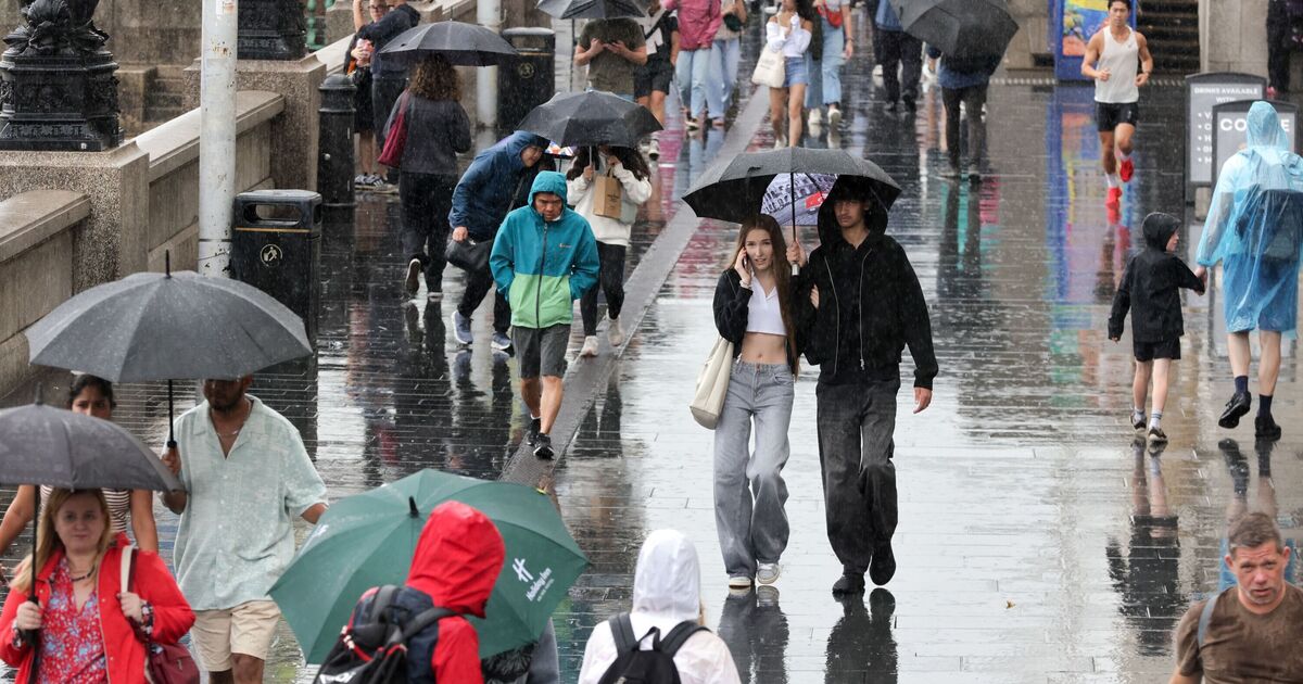

Parts of the UK are likely to be blasted by a 309-mile rain bomb as the latest weather maps show a north-south divide for August 5. According to WXCharts maps generated on July 21, the northern part of the country may be covered in the rain while the southern areas will experience scorching temperatures of 31C on the same day.
The maps, which are prepared using the MetDesk data, show that areas from Inverness to Belfast will see unsettled weather conditions in the early days of August. The rainy weather will continue to impact several parts of Scotland for a few hours before moving out from the country. Areas around Wick, Inverness, Fort William, Portree, Carlise, Aberdeen, Glasgow, Ayr, Dundee, Edinburgh and Douglas are likely to be impacted by the heavy showers, the maps have suggested.
On the other hand, the southern parts of the country may experience balmy weather on August 5.
According to the maps, Central England and South west England will see highs of 31C as sweltering conditions sweep across the region. Areas such as Worcester, Birmingham, London and Luton are likely to experience the warm weather.
It comes as several towns and cities across the UK are currently under thunderstorm warnings, with heavy rain, lightning and strong winds expected to affect multiple regions today.
The Met Office warned that heavy showers and scattered thunderstorms may cause some localised flooding and transport disruption on Monday, July 21.
It stated: “Scattered heavy showers and thunderstorms are expected on Monday. Rainfall amounts will vary from place to place but 20-30 mm is likely within an hour in a few places, with a small chance of 40-50 mm in one or two locations; this most likely across southern Scotland and northern England. Lightning strikes are also likely along with the potential for hail and gusty winds.”
The Met Office’s long-range forecast between August 5 and 19 reads: “A changeable westerly pattern will likely continue through into the start of August, with spells of rain or showers mixed in with some drier, brighter days.
“There are signs that high pressure to the southwest may try to extend its influence across the UK, which could bring more in the way of dry, settled weather as we head further into August.
“ Temperatures will likely continue to be near or above average overall, with a continuing chance of some very warm or hot spells, especially in the south and east, if high pressure wins out for a decent stretch of time.”
