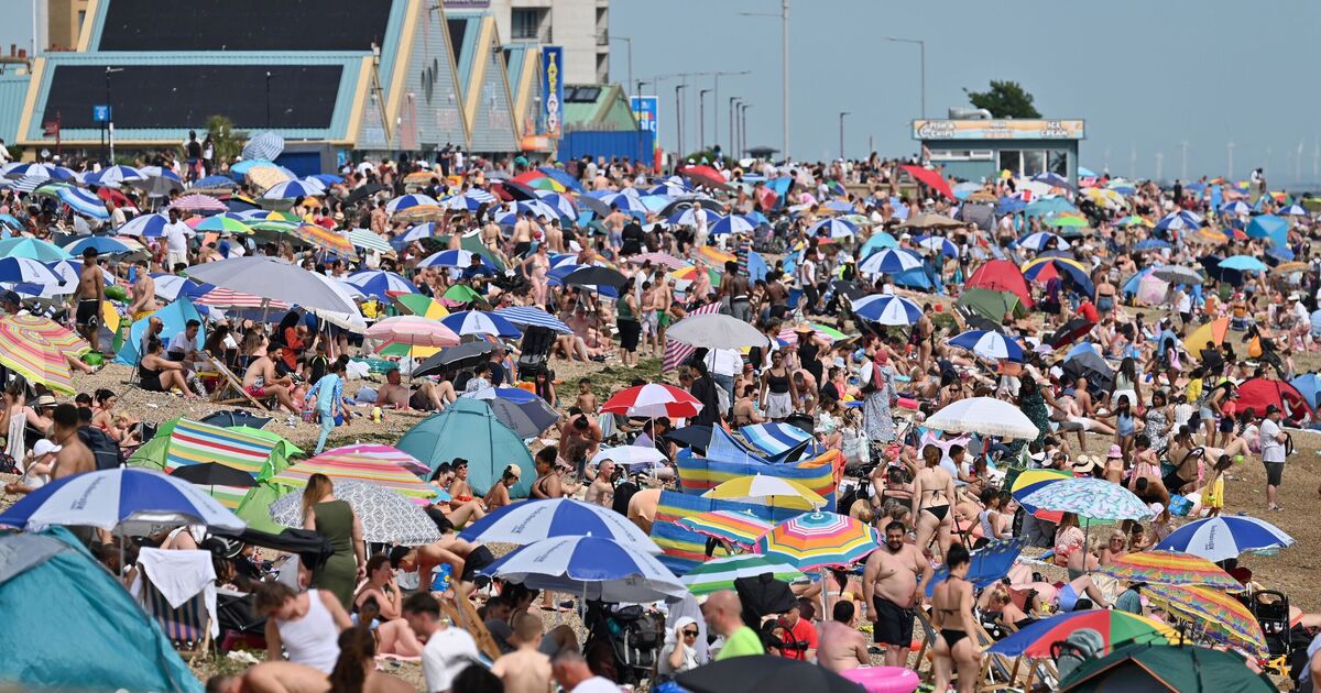
Britain is bracing for a blistering start to the week as new weather maps forecast a dramatic surge in temperatures across southern and eastern England, with parts of the country set to hit a sweltering 34°C on Monday, June 30th.
According to the latest data from the NetWeather run on Sunday, temperatures will peak sharply in the southeast, with a distinct red zone blanketing counties such as Essex, Kent, Suffolk, and Greater London. While much of Scotland and Northern Ireland remains in the mid-teens, the southeast of England will be feeling the full force of the summer heat.
The map shows a stark contrast between the north and the south. Areas across Scotland and parts of northern England will see more modest highs between 12°C and 17°C, while the south and east face extreme heat conditions.
With temperatures well above seasonal averages, health officials are urging the public to stay hydrated, avoid strenuous activity during peak heat hours, and check in on vulnerable individuals. Drivers are also being advised to plan ahead and ensure vehicles are well-ventilated.
Experts warn that although the sun may be welcome for many, the sudden spike presents real dangers, especially for the elderly, young children, and people with existing health conditions.
The hot spell is expected to break mid-week with the chance of thunderstorms on the horizon. Until then, Brits are being told to take precautions and brace for a scorcher.

