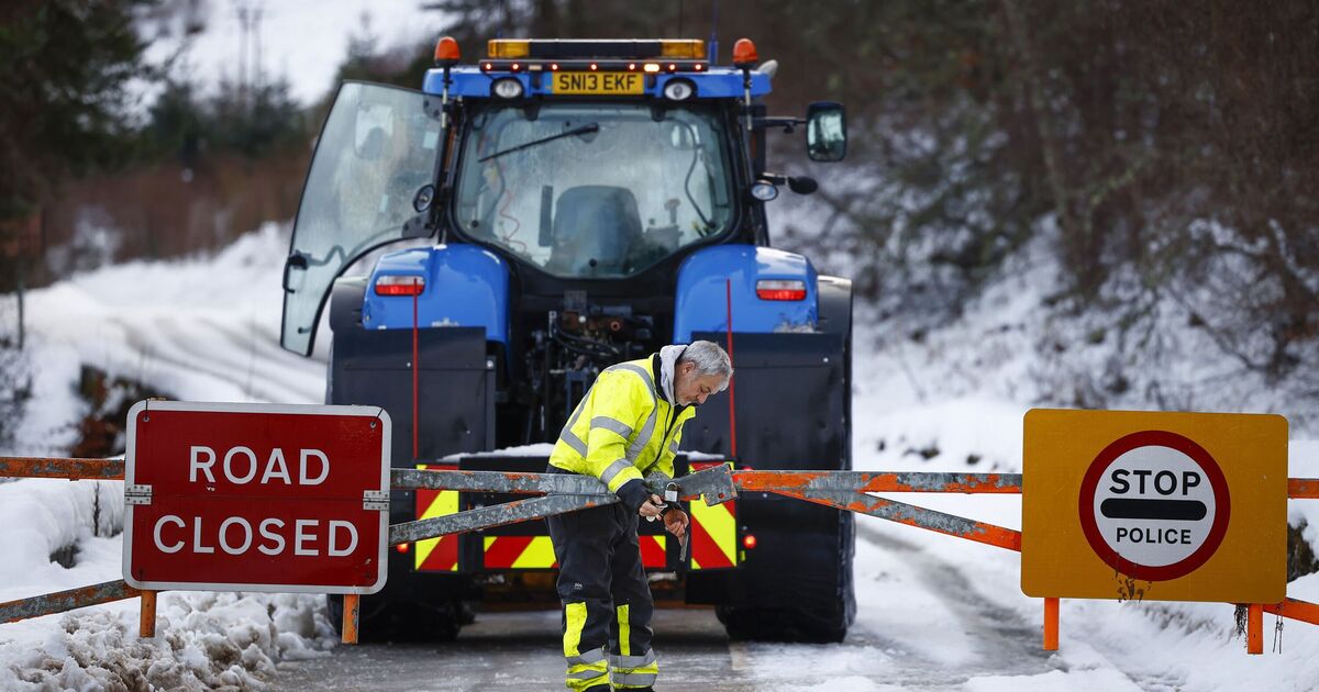
Parts of Britain are set to be blanketed in snow as Arctic air and strong gales sweep the country.
Temperatures across the country have dropped recently, with parts of Scotland falling well below freezing.
It appears that there will be no let up however as the icy temperatures look set to combine with a northerly airflow over the weekend that could leave many parts of the country under snow.
A Met Office forecast said: “Frequent wintry showers are expected, mainly in the north and along eastern and western coasts where exposed to the strong north to northwesterly flow.
“Snow is likely to fall to low levels, especially in the north. Many inland areas may be largely dry with lengthy sunny spells, especially where sheltered from the flow.”
It means that there is a high possibility of snow in northern parts of England as early as this weekend, potentially bringing with it travel disruption.
New maps by WXCharts.com show that Edinburgh and Aberdeen are the most likely to be affected by snow this weekend.
Through next week, the maps show snow moving southwards, through Newcastle and reaching as far as Manchester and Leeds.
Met Office forecaster Alex Deakin said: “Cold air will be flooding its way south over Saturday night.
“By the time we get to the early hours of Sunday morning, much of Scotland will be covered in freezing levels where ground is only at 400m.”
Meanwhile, Deputy Chief Meteorologist Mark Sidaway added: “The high pressure that has been responsible for the mainly dry weather through much of this week will retrogress into the Atlantic as we get towards the weekend.
“This will gradually introduce more unsettled weather, initially in the north from Friday but more widely from Sunday.
“In addition to this increased rainfall, which could be heavy at times on Sunday, temperatures will also drop, especially for those in Scotland, as a northerly airflow develops, bringing colder Arctic air to some northern areas.
“This shift does introduce the possibility of snow, initially over high ground in the north from Sunday, with gusty winds also a potential hazard.
“Warnings for winter hazards are possible later in the weekend, so it’s important to stay up to date with the latest forecast.”
Maps from WXCharts.com show that the north and Scotland are the areas most likely to be affected, with as much as 10cm set to fall in some parts.


