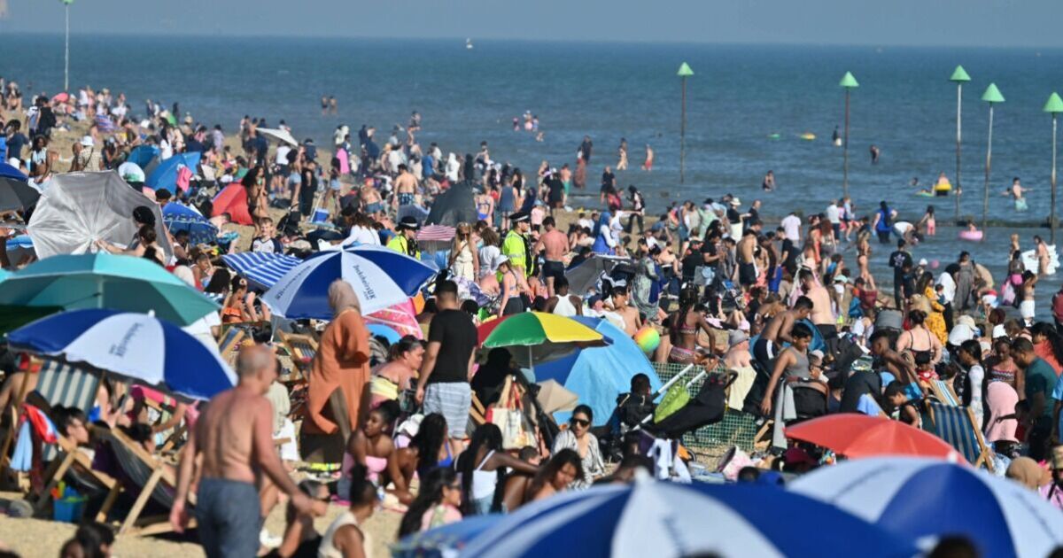
Britain is set to be blasted by a mini heatwave as new weather maps show several areas sweltering in a 32C scorcher. WXCharts weather maps have turned red for August 14 suggesting the possibility of a heat blast for many areas.
However, the scorching conditions are likely to be limited to only a few towns and cities in south England and 35 cities are likely to miss the hot weather. According to the weather maps, the hottest areas would be around Southampton where the mercury could jump to as high as 32C at around 6pm on August 14. The maps show a north-south divide for the country, with northern parts of the UK experiencing temperatures between 16C-17C during the same day.
Areas around London, Luton and Cardiff will see the mercury oscillating between highs of 30C and 31C, while the towns and cities in Midlands would see highs of 18C-19C, the maps have suggested.
Northern Ireland and eastern Scotland will see more moderate temperatures between 20C and 24C. Cooler still, the northwest of England and southwest Scotland will hover between 17C and 19C.
Northwest Scotland will be the coldest part of the UK, with temperatures between 14C and 16C.
The Met Office’s long-range weather forecast for August 10-19 hs predicted “above average temperatures are more likely than not, especially in the south”.
It says: “The start of this period may bring some strong winds and rain to the north of the UK before an Atlantic weather system erratically crosses all parts.
“Ahead of this, potential for some very warm and humid weather to affect parts of the south and east in particular. Looking towards mid-August, and high pressure is more likely to dominate the weather across the UK.
“This will bring plenty of a dry weather for the most part, though northern areas may see a rather more changeable theme with occasional rain or showers and breezier conditions at times.
“Above average temperatures are more likely than not, especially in the south, where it could also be rather humid.”

