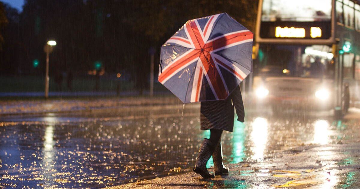
Britain looks set for a drenching in days as a huge band of rain spanning the length of the country looms, weather maps show.
Maps by WX Charts forecast rain stretching from the far north of Scotland all the way down to the south coast at 6am on November 14.
The band is largely confined to western Britain, with the heaviest affecting Scotland and part of Cumbria, according to WX Charts.
If the maps prove accurate this far out, up to 4mm may fall over Kintail, Crianlarich Hills and possibly the Grampian mountains.
Rain looks set to fall over almost all of Wales, with 2.5mm/hr along the Welsh border, according to WX Charts. Parts of Cornwall may avoid the wet stuff, but most of the southwest could be in for a soaking.
However, the Met Office’s long-range forecast said on Wednesday (November 6) that later next week looks like turning more unsettled, with some rain or showers particularly towards the east.
Netweather said from next Thursday (November 14) there is some of the usual uncertainty this far out, but models show high pressure may weaken, allowing more unsettled conditions. A Netweather map for 6am on November 14 shows rain confined to northern Britain.
Meanwhile, the next few days will remain cloudy for many as high pressure remains over the UK.
Met Office meteorologist Alex Burkill said today brings some breaks in the cloud, particularly if you’re to the lee of high ground.
He said some parts of northern England and northern Scotland would perhaps see some brightness and glimmers of sunshine.
Through this afternoon and this evening there’ll be spots of rain for some, especially over higher ground, according to the Met Office meteorologist.
Mr Burkill said that overnight there could be low cloud and murkiness, with drizzly rain in a few places.
He added: “Another grey, mild, murky start for many of us tomorrow morning and it is going to stay pretty grey through much of the day as well.
“Again, a few spots of drizzly where the cloud’s thick enough and some of us may see some brightness breaking through.
Temperatures will be a degree or two below today’s, but it will still feel “pretty mild” with temperatures in the mid to low-teens, according to the Met Office.
Mr Burkill said high pressure will shift a little further east in the coming days, with the possibility of a low tracking just to the north of Britain into Sunday.
This could bring a front our way, with northern parts of the country possibly being a bit windy and seeing a bit more in the way of rain than we’ve seen recently.
The sun may even break through the clouds towards the latter part of the weekend and early into next week, according to the forecaster.


