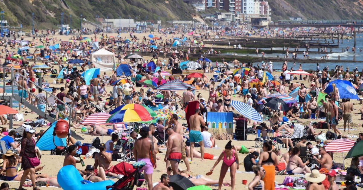

The UK is set for another spell of hot weather, with the latest weather maps turning volcanic red and forecsting temperatures could soar above 30C. It would be a welcome relief for millions of Britons, with the Met Office issuing several weather warnings over recent days as heavy rain and thunderstorms hammer the country.
The latest maps from Netweather has forecast highs of 34C at around 3pm on August 5, with hot weather from August 3 to 6. Reading and Swindon will be the hottest areas, at 34C. The next hottest places, at 33C, are forecst to be Gloucester, Milton Keynes, Luton, London, Oxford, Salisbury, Wells, and Winchester. In surrounding areas (Birmingham, Leicester, Northampton, Peterborough, Cambridge, Chelmsford, Canterbury, Brighton, Portsmouth), it will sit between 30C and 32C. Temperaatures could still hit etween 26C and 29C across the South of England, East Anglia, the North-east of England, and Wales.
The East of Scotland and Northern Ireland will be between 22C and 25C and the North-west of England and the West of Scotland will see from 20C to 22C.
The coldest region will be the North-west of Scotland, where temperatures highs are forecst to be between 12C and 19C, ccording to the weather maps.
This hot weather coincides with maps from WXCharts showing scorching air surrounding most of Europe as it makes its way north to the UK.
The Met Office’s long-range weather forecast for August 5-19 states: “A changeable westerly pattern will likely continue through into the start of August, with spells of rain or showers mixed in with some drier, brighter days.
“There are signs that high pressure to the southwest may try to extend its influence across the UK, which could bring more in the way of dry, settled weather as we head further into August.
“Temperatures will likely continue to be near or above average overall, with a continuing chance of some very warm or hot spells, especially in the south and east, if high pressure wins out for a decent stretch of time.”
The BBC’s long-range weather forecast for August 4-17 predicts “gradual warmer trend”, with more confidence of a “stronger high pressure influence near the UK or over parts of the continent.
“As a result temperatures could gradually rise during this period and be above average for this time of year. In this case much drier and calmer conditions would return as well.”
