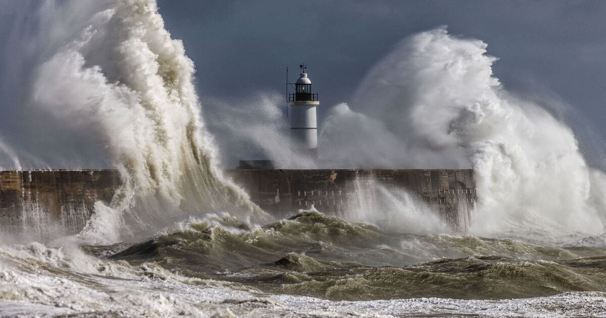

Stormy weather conditions are likely to hit Britain as the latest maps show 65mph strong gales crashing into the country. WXCharts maps generated on April 9 suggest that heavy rain and winds will impact various areas on April 15.
The unsettling maps come days after the UK is likely to experience a “mini-heatwave,” with temperatures soaring to 23C. Areas around Edinburgh, Newcastle, and Manchester are likely to see the strongest winds, the maps by WXCharts generated with Met Desk data have suggested. The strong winds will be accompanied by heavy rainfall, as the maps show many parts of Scotland and the Midlands experiencing windy conditions.
Areas such as Wick, Inverness, Aberdeen, Newcastle and Manchester may see rainfall up to 32mm, the maps have suggested.
The wet and windy conditions come as Brits are gearing up for a warmer weekend with a possibility of 23C in southern England and Wales.
Met Office Chief Meteorologist Andy Page said: “Warm and dry weather continues for much of the UK this week, but we’ll see a shift in where the highest temperatures will be over the next few days.
“Those living along North Sea coasts, who have so far had generally lower temperatures and more cloud at times, will start to see the higher temperatures on Thursday, possibly reaching as high as 23C in eastern Scotland and northeast England. This is due to a shift in the dominant wind direction from the east to the west.”
The Met Office’s long-range forecast between April 14 and 23 reads: “A much more changeable period through at least the early part of next week as low pressure lies to the west of the UK bringing a mixture of showers and some longer spells of rain, but also some drier, sunnier interludes.
“There is a low risk of heavier, possibly thundery showers coming into the country from the south for a time early in the period, but confidence in this aspect of the forecast is low and these may well pass to the east.
“This heralds a wetter period through the middle of April with showers or longer spells of rain at times, which could be heavy and thundery in places.
“Strong winds could develop in some areas, particularly the south and west. Temperatures are likely to return closer to normal.”
