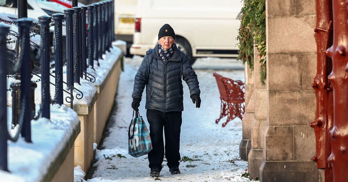

Parts of Britain are likely to be battered by cold conditions as the latest weather maps have turned white and purple, suggesting the possibility of freezing conditions.
The latest weather maps from WXCharts suggest that the temperature levels are likely to plummet to -5C as six areas may experience snowy conditions between February 8 and 9.
The maps, which are prepared using the Metdesk data, show that the areas in Scotland will be affected by the wintry snap. Areas such as Portree, Fort William, Ayr, Glasgow, Inverness and Stornoway will see some flurries during the suggested period.
Around 7-8cm of snow is likely to accumulate in areas around Portree, the maps have suggested.
While the snow will be seen mostly in the northern areas, the cold temperatures are likely to spread across the country, with even Cardiff and London shivering at 0C, maps suggest.
The lowest temperature would be seen around Portree, with mercury levels plunging to -5C, the maps show.
Brian Gaze, founder of The Weather Outlook, told Express.co.uk: “There are growing signs pointing to a colder spell developing from around February 5 with high pressure over Scandinavia driving an easterly wind across western Europe.
“Despite lengthening days, mid-February is often the UK’s coldest time of winter, so a return to wintry conditions wouldn’t be surprising.
“Easterly winds often bring the harshest weather to southern counties, meaning this time southern Britain could bear the brunt – unlike January’s cold spell, which hit the north hardest.”
The Met Office’s long-range forecast between February 7 and 16 reads: “High pressure will sit close to (and probably to the east of) the UK in this period.
“Consequently, southern and eastern areas are likely to see the driest conditions, with lightest winds, which could lead to overnight frost and fog with temperatures a little below normal.
“Further north and west, there is a risk of incursions of Atlantic air and fontal systems at times, which would bring some rain here, but with milder temperatures.
“There is a very low chance that if the high orientates in such a way that a more easterly (rather than southerly/southeasterly) flow develops, a spell of much colder conditions could develop across the UK, with a risk of wintry showers in some parts.”
