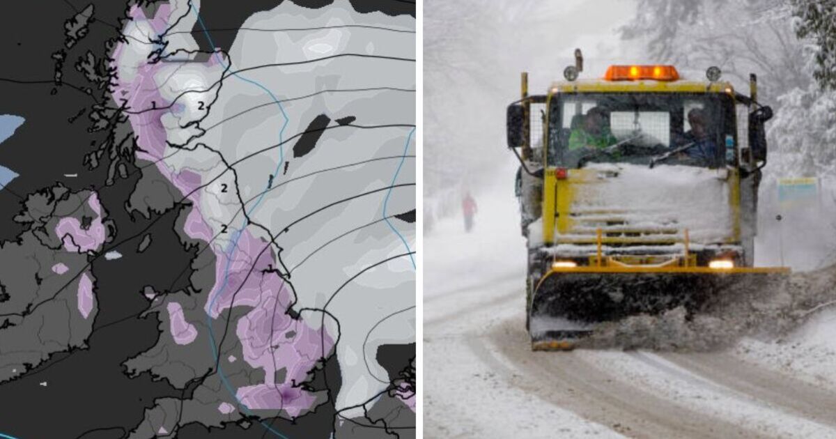
New weather data shows that Britain could be set for heavy snow across the length of the country later this month.
The weather maps, produced by WXcharts.com show a large wall of snow throughout the east in the week that thousands of schools close for half-term.
The potential for significant snow blasting in from the east has led to some to label it as a repeat of ‘the beast from the east’, an extraordinary weather event in 2018 which caused huge disruption across the country as heavy snow blanketed the nation.
Weather forecaster Exacta Weather predicts: “In and around February 8-15, could then bring that cold, easterly and/or northerly and multiple widespread snow events for large parts of the country.
“Overall confidence is currently moderate and increasingly increasing to much higher levels for these expected weather developments to bring widespread snow and notable cold weather to the UK.”
Weather data from WXCharts.com shows snow arriving from the east from the early morning of February 17 which lands first in Scotland before making its way south.
By midday, snow is predicted to be seen in Birmingham, London and Southampton, bringing the risk of travel disruption for millions.
With the majority of the country experiencing sub zero temperatures, it is predicted that snow will set in multiple cities by the morning of 19 February.
The Met Office has acknowledged the wintery conditions although it has been non-commital on the prospect of snow.
Its long range forecast for the period stated: “Temperatures may be below average at first, with overnight frosts, but could return to near average or even rise a little above average later.
“Precipitation amounts are likely to be below average at first, though a few wintry showers are possible in the east, and perhaps some rain in the west, but amounts may return to near-normal later in the month.”

