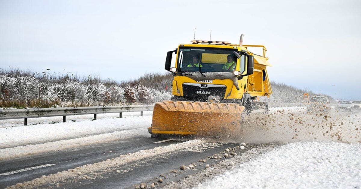
Snowfall accumulations could reach up to 5cm to 10cm in the worst-hit areas, while parts of northern England and the Pennines could also see snow settling on higher ground, according to Netweather maps.
Netweather’s snow risk map also highlights parts of Northern Ireland, northwest Wales, and the Lake District as being at risk of snow during the early hours of Thursday morning.
Areas in Northumberland, the Yorkshire Dales and the Midlands could also see flurries later in the day.
Temperatures are forecast to nosedive to -3C in northern areas, with the bitter Arctic air spreading across much of Scotland and parts of northern England by Thursday evening.
WX Charts shows temperatures dipping well below freezing overnight, particularly around Aberdeen, Inverness, and Edinburgh.
Further south, regions like Manchester, Newcastle, and Birmingham are likely to see daytime highs struggling to reach 2C to 4C, with overnight frost expected.
Even London and the southeast will not escape the cold, as temperatures fall close to freezing during the evenings.
Snow showers could continue through the day on Thursday, with bands of rain and sleet making their way southwards, according to the maps.
The Met Office forecast a “generally brighter and showery” weather for Thursday, adding it will be “often windy”, with temperatures “briefly very mild, then colder later”.
Its long-range weather forecast, looking at the days between December 20 and 29, added: “After a mainly dry start on Friday, a band of showery rain is likely to move southeastwards across the UK. Beyond this, it will remain changeable through the rest of the period. The wettest and windiest conditions will probably be in the north, with spells of heavy rain at times as low pressure systems pass by. Further south, whilst some unsettled weather is likely at times, it will probably be drier overall with a greater influence of high pressure.
“Temperatures will likely vary around average, with both some milder and colder interludes at times. Snow will most likely be restricted to high ground, although could temporarily fall at lower levels in the north during any colder interludes.”


