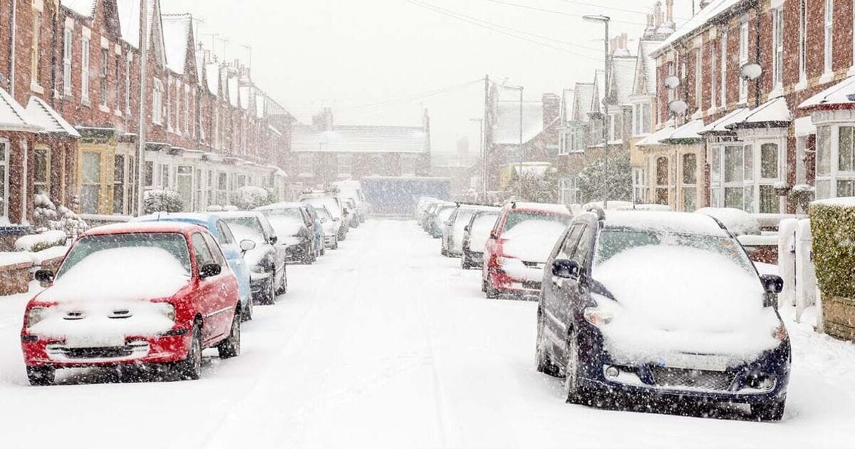
Parts of the UK may be lucky enough to experience a white Christmas this year as the latest weather maps show a barrage of snow will be dumped on parts of the country.
New maps from WXCHARTS have revealed exactly which areas will be affected by the incoming snow due to arrive on Christmas Eve and stay until the early hours of Christmas Day.
Most of Scotland is due to get snow, with levels ranging from 0.2-2 cm/hr, particularly to the north of Edinburgh.
The Highlands and Inverness are expected to be some of the worst affected areas, with the rate of snowfall expected to be on the higher end of the scale.
The areas around Ben Nevis and Loch Lomond are also due to see significant amounts of snow, expected to extend as far north as the Outer Hebrides and as far south as Dumbarton.
However, not all of Scotland will see snow. As well as Edinburgh, other main cities that will avoid it are Aberdeen, Glasgow, and Dundee.
The rest of the UK will also manage to avoid the snow, the maps suggest, ruining any hopes of a white Christmas in England and Wales.
Instead, areas of England, Ireland, and Northern Ireland can expect rain ranging from 0.2-0.8 mm/hr. The most impacted areas will be Derry and the Sperrin Area of Outstanding Natural Beauty in Northern Ireland.
In England, parts of Westmorland and Furness will see a light drizzle between 0.2-0.4 mm/hr. Other than that, Christmas is expected to be a dry albeit cold period.
The Met Office long range forecast for December 24 until January 7 mentions some areas in the UK are likely to get snow.
It reads: “Mainly unsettled conditions appear likely for most, with spells of wind and rain followed by showers affecting most areas but especially the north and northwest of the UK.
“Some sleet and snow is also likely at times, especially on high ground in the north.”
However, it adds: “There are also some signs that more settled conditions are possible at times, these perhaps most likely across the south late in December or into early January.
“Temperatures are likely to be around average overall, with any more settled interludes bringing a risk of frost and fog.”


