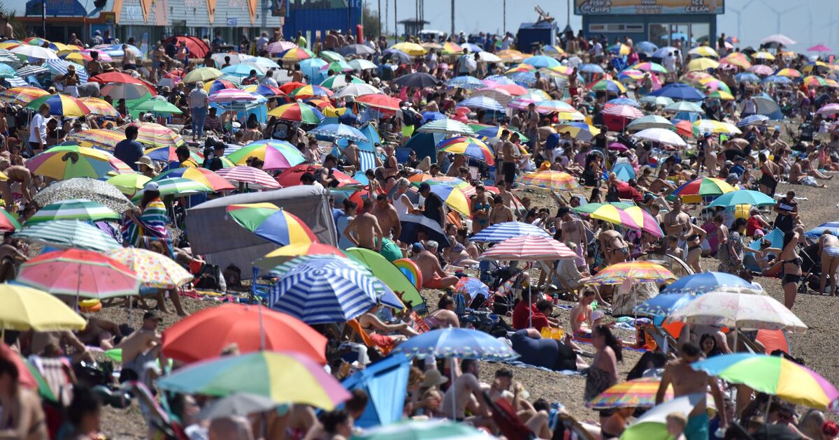

Hot weather conditions may make a return to the UK with a 30C scorcher to hit the country in two weeks. Weather maps from WXCharts, generated on August 1, have turned bright red, indicating the possibility of sweltering conditions for nearly the whole of the UK on August 14.
The weather maps, which are created using the MetDesk data, show that warmer temperatures may hit many regions with the mercury levels soaring as high as 30C. While the southern parts of the country would be the worst impacted by the heat according to this forecast, the high temperatures will also have a massive impact on the northern parts of the UK, the maps have suggested.
According to the weather maps, the scorching conditions will begin to strike the southern areas of London, Southampton, Cardiff and Birmingham at around 6pm on August 12. Areas around Leeds, Manchester, Worcester, Reading, Oxfordshire, Liverpool, Stoke and Leicester will start experiencing the highs of 30C, the maps show.
By August 13 and 14, the heat conditions will start expanding to the northern parts of the country and on the evening of August 14, many parts of Scotland will be reeling under the hot weather, according to the maps
The forecast suggests that even the northern tip of the country, Wick, will experience 24C on August 14.
The sultry conditions come days after the Met Office warned of disruptive winds due to Storm Floris. On Friday, the National Weather Agency named Storm Floris and issued a yellow warning covering a swathe of the northern half of the UK, from Northern Ireland to north Wales, northern England, and the whole of Scotland.
The Met Office’s long-range forecast between August 6 and 15 reads: “Dry with sunny spells to begin the period as high pressure moves across the UK. The pattern will then likely return to something more broadly changeable.
“A frontal system will likely lead to spells of rain and showers especially to the north and west. The general westerly pattern will then likely continue for a time with spells of rain or showers and some drier, brighter interludes, especially in the south and east.
“Temperatures will mainly be near average. As we move towards the middle of the month, there is an increased chance of high pressure becoming more dominant, leading to drier, more settled conditions becoming more widespread and above average temperatures. However, some brief unsettled spells remain possible.”
