Rock band Guns N’ Roses’ famous song November Rain is going to feel very apt to put on a playlist in the coming days as a deluge of wet weather arrives in the UK.
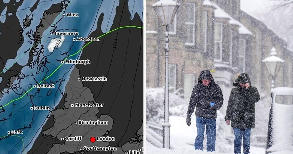
New maps show a large band of rain sweeping across the country from the west with almost nowhere escaping the sodden soaking especially in the north west and Scotland.
WXCharts forecasts also show snow appearing over The Highlands close to Fort William and Inverness with the white stuff signalling winter is well and truly on the way.
The maps for November 14 and 15 also show a large body of cold air building in the east with bone-chilling temperatures possible down to -4C in Scotland and at least freezing across much of the rest of Britain.
It comes after the first fortnight of November is predicted to be mild, with balmy 17C temperatures hitting many areas, especially the south.
A Met Office long range forecast from November 14 to 28 said around this time there will “probably be a change toward more unsettled conditions”.
The Met Office said: “After a relatively settled start to November, around mid-month there will probably be a change toward more unsettled conditions for a time.
“This means an increased chance of periods of wet and windy weather for parts of the UK, perhaps more so in the south.
“However, there is low confidence whether unsettled, wetter weather or drier and more settled conditions will dominate by the end of the month.
“Temperatures will probably be close to average overall, although some colder interludes are possible.”
Fellow forecasters Netweather.tv concurred with the Met Office assessment, saying it was likely from mid-November weather would be “unsettled”.
They said: “Thus, rainfall is expected to be closer to normal during this week but it will probably still be drier than average for many areas, especially in the east of Britain.
“Temperatures will probably be above normal for the majority of the week in all parts of the UK due to mainly south-westerly winds, probably around 2C above normal for most regions overall, with the largest anomalies likely to be in northern and eastern Scotland.
“Sunshine totals are again likely to be below normal for most of the UK, but above normal in the east and especially north-east of Scotland and probably also parts of east and north-east England.”
Today:
Slowly clearing Fog patches to leave a mostly dry, though rather cloudy day for many. Some bright intervals, especially in the northeast. However, rather windy in the north, and some rain at times across the north and west of Scotland.
Tonight:
Rather windy in the north with rain affecting northern and western Scotland, this turning locally heavy. Lighter winds elsewhere, though rather cloudy with patchy fog and drizzle.
Friday:
Rain moving south across Scotland and easing, with brighter, colder weather arriving in the north. Remaining rather cloudy, though mostly dry and mild elsewhere, with a few brighter breaks.
Outlook for Saturday to Monday:
Continuing with a lot of dry, though often cloudy weather. Patches of drizzle and some fog. A few bright or sunny spells, particularly in the northeast at first. Sometimes breezy.


