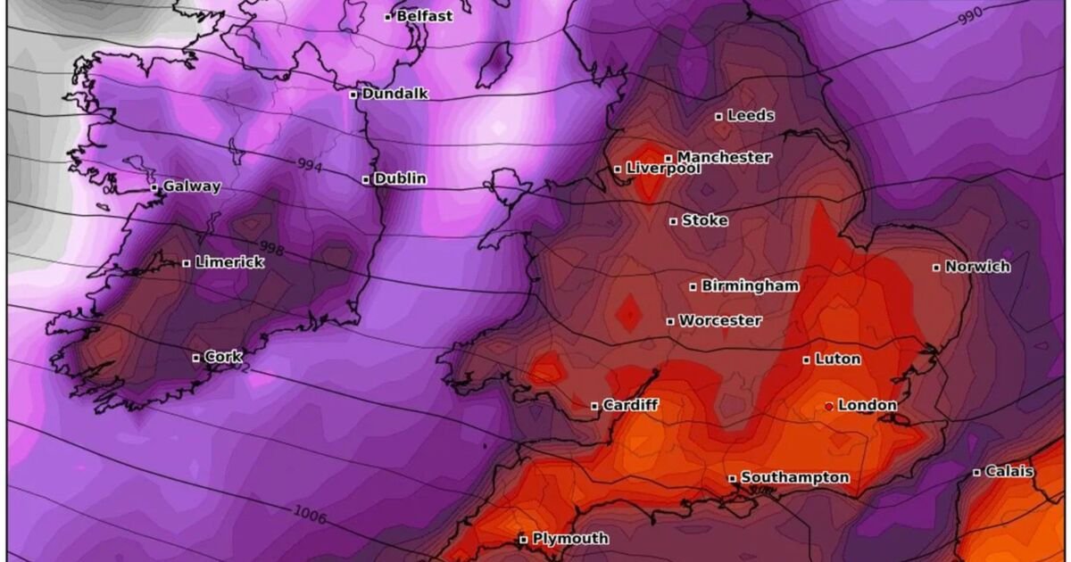

Storm warnings have been issued across the UK as dramatic new weather maps show a powerful system bringing destructive winds and torrential rain this weekend.
WXCharts forecasts reveal wind gusts of up to 88mph set to sweep across parts of England and Wales late Friday night into the early hours of Saturday. The storm system is also expected to unleash a 200-mile wall of rain stretching from the southwest through the Midlands and into southeast England.
The peak gusts are forecast to strike the western half of the UK before pushing inland. According to the latest model runs, the following cities and regions are set to see the strongest winds:
London
Luton
Norwich
Southampton
Plymouth
Cardiff
Worcester
Birmingham
Stoke
Liverpool
Manchester
Leeds
Newcastle
Belfast
Londonderry
Alongside the winds, a vast band of heavy rain will sweep across southern and central parts of England. Rainfall rates of 10–20mm per hour are expected, with the heaviest bursts hitting London, Luton, Norwich, and Southampton in the early hours of Saturday.
This wall of rain is expected to stretch more than 200 miles, meaning prolonged downpours for many. Flood alerts may also be issued in vulnerable areas.
While the Met Office has yet to issue a red weather warning, experts caution that conditions could deteriorate quickly. Travel is advised only if necessary during the peak of the storm, with rail and road networks likely to face significant disruption.
The storm is forecast to peak around 3am on Saturday, October 4th, with conditions gradually easing later in the day. However, lingering showers and gusty winds will continue through the weekend.
The Met Office urges residents across affected regions are urged to secure loose items, check travel plans, and prepare for possible power outages.
