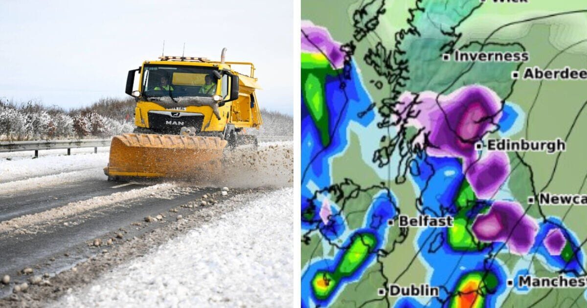
The Met Office has warned that there is a risk of impacts from ice, sleet and snow as the UK welcomes in 2025.
Snow maps suggest that snow is set to fall over multiple areas of the British Isles in January.
At midnight on January 1, the east of Northern Ireland will be hit by snow, according to WXCharts.
At 6am on the first day of the new year, snow is forecast to fall in Scotland, including in Edinburgh and Glasgow, as well as Dundee and wider areas of the west of the country.
Later that day, Stornoway will be hit. Stirling and Perth also.
On January 2, Scotland, the Lake District and the Pennines can expect snow.
Bridgewater and Taunton may also see snow, as well as Bath and the surrounding area.
Northumberland and the Yorkshire Dales could be in for snow on January 3, as well as northern Scotland, in areas such as Inverness.
Later that day, the area east of Manchester and central Wales can expect some of the white stuff.
January 4 is not thought to bring with it much snow.
But, the next day, a lot of Scotland north of Edinburgh looks to be in the snow’s sights.
The Peak District looks set for snow that day as well. The Cotswolds may get some, too.
Snow may fall just above London in Bedfordshire on January 5 also.
On January 6, the area between Newcastle and Edinburgh may be snowed on, as well as East Anglia in areas like Thetford and Attleborough.
A large part of Kent can also expect some.
The Met Office says regarding December 27 to January 5: “Around the turn of the year, it looks more probable that colder, more showery conditions will likely make at least some ingress into northern and perhaps central areas, bringing a risk of some impacts from ice, sleet and snow.
“Widely mild at first, perhaps exceptionally so in some places, but temperatures probably return to nearer normal by early January. Throughout, any clearer spells overnight may lead to localised frost and fog.”
About January 6 until January 20, the forecaster added: “While drier than average conditions are likely for many areas, some precipitation is still expected, which could lead to wintry hazards at times.
“Temperatures are likely to be close to or a little above normal overall, but this could be made up of a mix of milder and colder interludes.”


