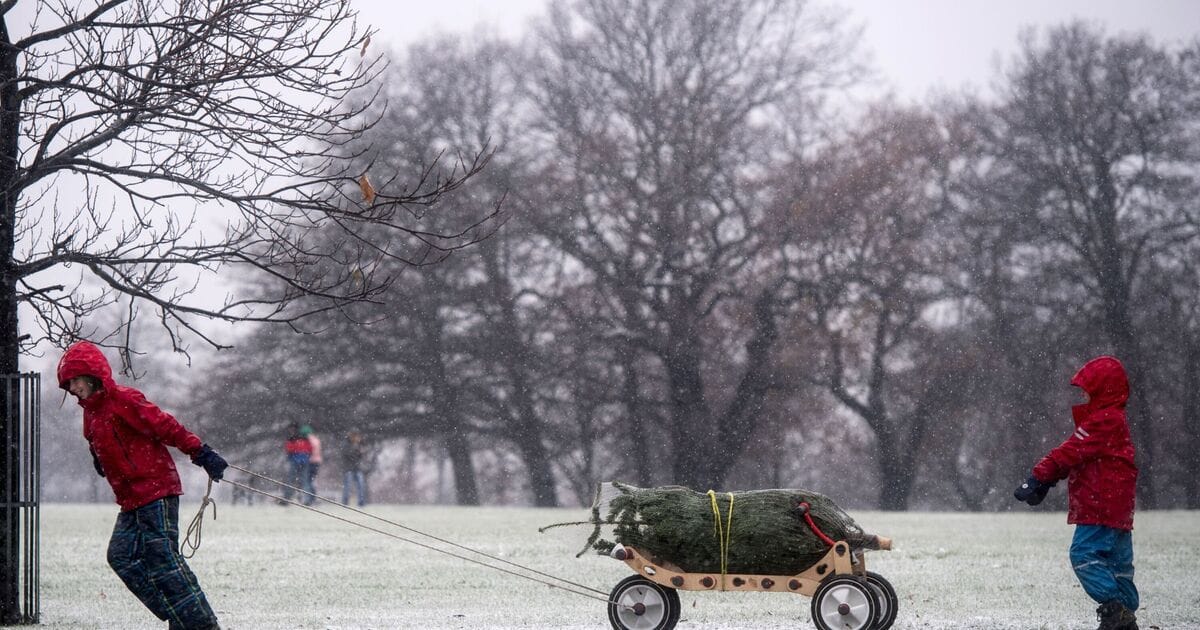
Weather maps have revealed the probability of each region in the UK getting a White Christmas this year. Maps from WXCharts have turned dark blue for a few areas, and it indicates higher chances of getting snow on the festive day.
According to the maps, the areas that have the most possibility of witnessing a White Christmas includes Wick, Portree, Fort William and Inverness. WXCharts suggest that there is a 30-40 percent of snow falling in these areas.
Cities such as Edinburgh and Newcastle have 10-15 percent chances of turning white.
Meanwhile, southern cities are highly unlikely to witness snow on Christmas, with a mere chance of less than 10 percent, maps suggest.
The Met Office explained that forecasting impactful snow is famously tricky in the UK. It stated: “There are a number of factors that our expert meteorologists look for and numerous competing elements that all have to be exact for snow to actually fall.
“Sometimes, just a fraction of a degree in temperature can make the difference between the chance to build a beautifully formed snowman, and the joys of a sleety slushy day. That’s why forecasting snow weeks in advance is extremely tricky. ”
For those willing to witness snow on Christmas, Met Office meteorologist Simon Partridge recommends heading to the Scottish mountains, as this is the most likely place for snowfall in the UK this Christmas.
The north of the country is also expected to see snow during Christmas week, as temperatures are expected to plummet
The Met Office’s long-range forecast between December 20 and 29 reads: “After a mainly dry start on Friday, a band of showery rain is likely to move southeastwards across the UK.
“Beyond this, it will remain changeable through the rest of the period. The wettest and windiest conditions will probably be in the north, with spells of heavy rain at times as low pressure systems pass by.
“Further south, whilst some unsettled weather is likely at times, it will probably be drier overall with a greater influence of high pressure.
“Temperatures will likely vary around average, with both some milder and colder interludes at times. Snow will most likely be restricted to high ground, although could temporarily fall at lower levels in the north during any colder interludes.”


