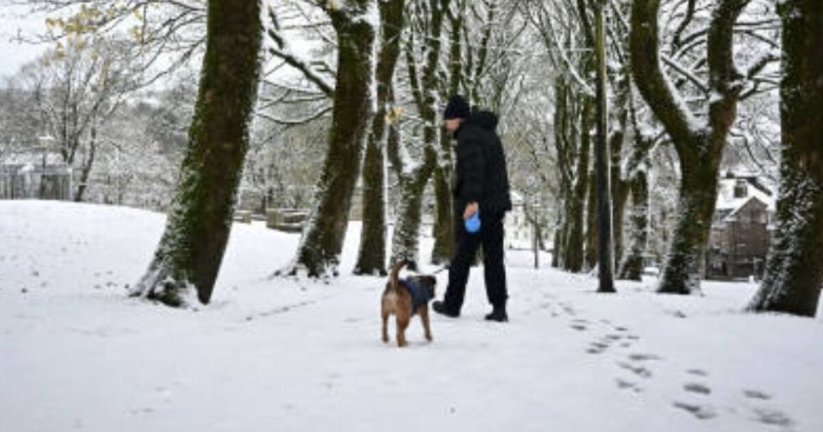
The UK is bracing itself to be hit by a horrible 60-hour winter storm starting on the eagerly anticipated Christmas Day.
Brutal WXCHARTS weather maps have turned purple, blue, red and yellow, indicating that heavy snow and rain are on their way.
The first dumping of snow will arrive at 12pm on the big day itself with Scotland looking likely to receive the brunt of the white stuff, the maps suggest.
Nearly the majority of Scotland looks likely to be covered by a blanket of snow, with up to 3cm of snow per hour likely.
Key cities including Inverness and Dundee are covered by the wall of snow.
England won’t miss out on catching some festive flakes as the North West, North East and Yorkshire and the Humber are all predicted snow depths of up to 1cm.
Elsewhere mid-Wales and northern parts of the valleys could see a white Christmas with a flurry of snow forecast.
As we go towards 6pm on Christmas Day the snow will persist in Scotland, the North West, North East and Yorkshire and the Humber.
At midnight on Boxing Day the winter storm is predicted to grip larger parts of the UK.
Weather maps show that although the South West and South East won’t see any festive flakes, these areas could instead be hit by a wall of heavy rain.
South Wales, north western parts of Wales and the East of England will also receive a hammering of rain.
Aberdeenshire will see more snow fall alongside northern parts of England.
If the winter storm wasn’t enough temperatures are also set to plunge with temperatures to drop to below zero degrees.
Scotland could see temperatures drop to an icy -4C while the East and West Midlands will see the mercury hovering around a chilly -3C.
Although London is likely to see slightly warming temperatures the capital will still feel the chill with the mercury hovering around a brutal -2C.
Separately, in the Met Office’s weather update for Christmas Eve until January 7, the forecaster warned that “some sleet and snow is likely at times, especially on high ground in the North”.
During this period, “unsettled conditions appear likely for most, with spells of wind and rain followed by showers affecting most areas but especially the north and northwest of the UK”.
However, there are signs that more settled conditions are sometimes possible, “these perhaps most likely across the south late in December or into early January”.


