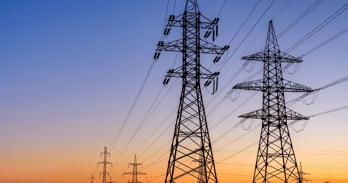

As many as 44 UK areas could be hit with power cuts, the loss of mobile phone signal and travel disruption due to heavy wind storms on Friday and Saturday, the Met Office has warned.
The forecaster has officially named Storm Amy, the next big storm set to batter the UK, and has issued a yellow weather warning covering a 30-hour period in the UK starting at 6pm on Friday, October 3 and continuing until 11.59pm on Saturday, October 4, for extreme winds.
The Met Office said in its warning: “Storm Amy is likely lead to disruption during Friday and Saturday. Storm Amy is expected to bring a spell of very strong winds to many parts of northern Britain later on Friday and into Saturday. Westerly winds will pick up during Friday, initially in the west before extending eastwards during Friday night. Gusts of 50 to 60 mph are likely for many areas and may reach 60 to 70 mph in some places for a time.
“Exposed coasts and hills will see the highest gusts which could exceed 80 mph. The strongest winds currently look more likely over parts of northern Scotland. This will lead to difficult driving conditions for high sided vehicles on prone routes such as cross winds on exposed or high level routes.
“The very strong winds will also be accompanied by spells of heavy rain, most persistent across parts of western Scotland.
“The winds will ease for most parts on Saturday afternoon but will continue to be very strong for the Northern Isles and parts of the far north of Scotland through to the end of the day before slowly easing overnight.”
There is already a yellow weather warning in place tonight, Wednesday, October 1, until Thursday, but this only covers part of Scotland. The new warning covers every city in Scotland, as well as several parts of northern England and Wales and Northern Ireland. Affected cities include Edinburgh, Glasgow, Liverpool, Lancaster, Carlisle and St Asaph. . The new warning
The Met Office says that the yellow weather warning could bring power cuts to the affected areas, as well as a danger to life and travel disruption.
It said to expect: “Some damage to buildings, such as tiles blown from roofs, could happen; Injuries and danger to life from flying debris are possible; Power cuts may occur, with the potential to affect other services, such as mobile phone coverage; Injuries and danger to life could occur from large waves and beach material being thrown onto sea fronts, coastal roads and properties; Some roads and bridges may close; Road, rail, air and ferry services may be affected, with longer journey times and cancellations possible.”
It added: “People cope better with power cuts when they have prepared for them in advance. It’s easy to do; consider gathering torches and batteries, a mobile phone power pack and other essential items.”
The Met Office added in its warning: “Be prepared for weather warnings to change quickly. When a weather warning is issued, the Met Office recommends staying up to date with the weather forecast in your area.”
The full list of areas in the yellow weather warning on Friday and Saturday is:
Angus
Clackmannanshire
Dundee
Falkirk
Fife
Perth and Kinross
Stirling
Aberdeen
Aberdeenshire
Moray
Na h-Eileanan Siar
Highland
Northumberland
Blackpool
Cheshire West and Chester
Cumbria
Halton
Lancashire
Merseyside
Orkney Islands
Shetland Islands
Dumfries and Galloway
East Lothian
Edinburgh
Midlothian Council
Scottish Borders
West Lothian
Argyll and Bute
East Ayrshire
East Dunbartonshire
East Renfrewshire
Glasgow
Inverclyde
North Ayrshire
North Lanarkshire
Renfrewshire
South Ayrshire
South Lanarkshire
West Dunbartonshire
Conwy
Denbighshire
Flintshire
Gwynedd
Isle of Anglesey.
