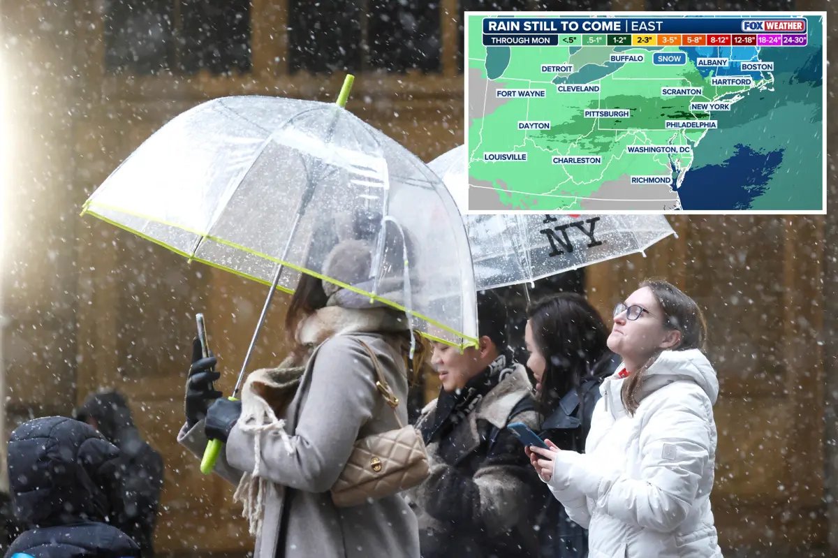

Spring and winter are ready to battle it out across the Northeast this weekend, with brief spurts of 60-degree temperatures for parts of the Interstate 95 corridor, while the interior Northeast and New England prepare for another round of snow.
Beyond this first weekend of astronomical spring, winter’s parting shot looms — a split in the polar vortex could plunge temperatures back into the 30s across the region late next week.
Cold air will linger across the Great Lakes, interior Northeast and New England, where 2–4 inches of snow could fall late Friday into early Saturday, as a clipper system races through northern New England.
Winter Weather Advisories are in effect across Vermont and New York’s North Country through Friday night.
Temperatures will climb into the mid-50s along the Interstate 95 corridor on Saturday and potentially reach 65 degrees in New York City on Sunday.
Along the Mid-Atlantic coast, Washington, D.C. could reach the low 80s Sunday afternoon.
On Sunday, severe storms are expected to develop over the Ohio Valley and reach the East Coast by Sunday night.
Central Indiana and central Ohio are under a Level 2 out of 5 risk of severe storms Sunday, including Indianapolis and Columbus, Ohio.
The main hazard is expected to be damaging wind gusts, but a tornado cannot be ruled out.


From there, some uncertainty remains regarding the storm’s track and strength, but rain will likely reach the I-95 corridor by Sunday night, lasting into Monday.
“Colder air on the north side of the sprawling system may allow for widespread snow across interior New England and upstate New York with even the possibility of some icing,” the FOX Forecast Center said.
Behind these storms, highs on Monday in New York City may only reach the mid-40s, as another round of colder air moves in, with even colder air associated with a split in the polar vortex possibly arriving late next week.
