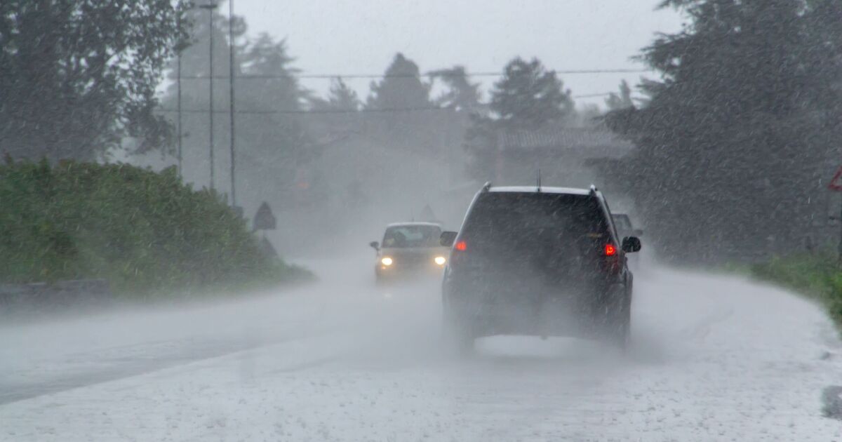
Trick-or-treaters may need to take cover on Halloween as the UK looks set to be hit by heavy downpours and gale-force winds. Weather maps from WXCharts, which uses Met Desk data, show parts of the UK being blasted by strong winds of more than 80mph on Friday (October 31), with the stormy conditions building up from Thursday. The coast of western England and Scotland will be hit the hardest on October 30, the maps generated on October 29 suggest, with northern regions including Dumfries and Galloway and Cumbria, alongside Northern Ireland, predominantly impacted.
As the clock strikes midnight on Thursday, the strength of the wind gusts will increase across England, the maps show, with 70mph winds stretching from Hampshire in southern England, up to the top of Scotland. The north west of England will see slightly stronger winds as maps from WXCharts forecast gusts of up to 80mph in the early hours of Halloween morning, the forecast says.
Accompanying the gale-force winds will be heavy downpours of rain, with some parts of the UK seeing up to 20mm of accumulated precipitation, according to the forecast.
At 3am on Friday, the majority of England will be blanketed in 1-6mm of rainfall, which will have built up over a 24-hour period, the maps suggest. Scotland will see larger areas of standing water with up to 14mm of accumulated rain predicted in the early hours of Halloween. However, Northern Ireland will see the highest amount of precipitation, with the entire country expecting to see 13-20mm, the maps show.
The stormy conditions will continue throughout the day on Halloween, with swathes of red and yellow on the weather maps covering the majority of the UK at 3pm on October 31. This indicates wind gusts of up to 70mph, with parts of the western coast in England and Scotland facing the brunt of the storms, with gusts of over 80mph.
Ahead of Halloween, the Met Office has issued yellow wind warnings in place for parts of Northern Ireland, running from 1pm until 11pm on Thursday.
The weather forecaster said the conditions could lead to delays on the road, rail and ferry network, as well as possible disruption to flights. Coastal areas could also be affected by large waves and spray. The high winds could mean power lines are hit, potentially leading to outages.
For Friday, the Met Office expects conditions to remain “unsettled” with some “heavy showers” predicted. While it may be milder in temperature, it will be “rather windy” throughout the weekend.
The stormy conditions are expected to continue into next week too, as the forecaster’s long range prediction says: “The changeable and at times unsettled weather is likely to continue through early November, with low pressure dominating the UK. This means further showers or longer spells of rain at times.
“All parts could see some heavy rain, but it is likely that western areas will be wettest. Strong winds are likely at times, with gales or severe gales a possibility, especially in the west.”

