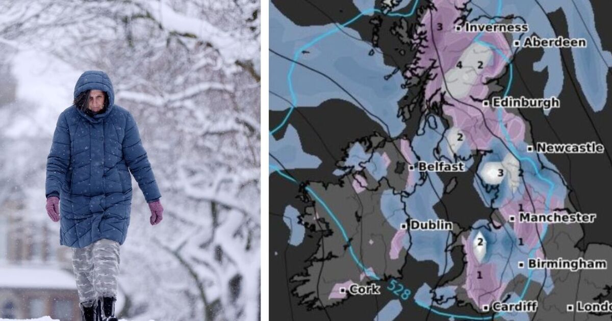

Snow will hit the UK on Valentine’s Day with chilly temperatures and wintery conditions forecast.
Latest maps from WXCHARTS show that at midnight on February 14, snow will hit most of Wales, Manchester, Cumbria and the Lake District, as well as parts of Scotland.
By 6am, snowfall will stretch from Scotland to Cardiff with some parts of the UK also seeing high levels of rainfall.
Areas to see snow will not see more than 3cm of snowfall and these places will include mainly south Wales, Manchester, the Peak District and all of Scotland.
Rain will hit Newcastle and the north east coast, along with Cumbria and the Lake District.
Wales, Birmingham, Shrewsbury and Hereford along with Bristol and Southampton – all of which will see up to 3mm of rainfall per hour.
By 6pm on Valentine’s Day, wind gust maps show the strongest winds will hit parts of Wales, Devon and Cornwall.
In these areas, winds could reach up to 75km per hour.
Elsewhere in the UK, most of the Midlands and the south of England will see wind highs of 50km per hour.
As for the north of England and Scotland, winds will range from 6km per hour to 29km per hour.
On Saturday, February 15, snow probability maps show parts of Scotland have a 50% chance of seeing snow.
For most of the UK there is between a 10% to 30% chance of seeing snow.
The Met Office forecast says: “High pressure will sit close to (and probably to the east of) the UK in this period. Consequently, southern and eastern areas are likely to see the driest conditions, with lightest winds, which could lead to overnight frost and fog with temperatures a little below normal.
“Further north and west, there is a risk of incursions of Atlantic air and fontal systems at times, which would bring some rain here, but with milder temperatures.
“There is a very low chance that if the high orientates in such a way that a more easterly (rather than southerly/southeasterly) flow develops, a spell of much colder conditions could develop across the UK, with a risk of wintry showers in some parts.”
Regions which are set to have snow are:
Scotland
North East
Yorkshire and the Humber
North West
East Midlands
West Midlands
Wales
