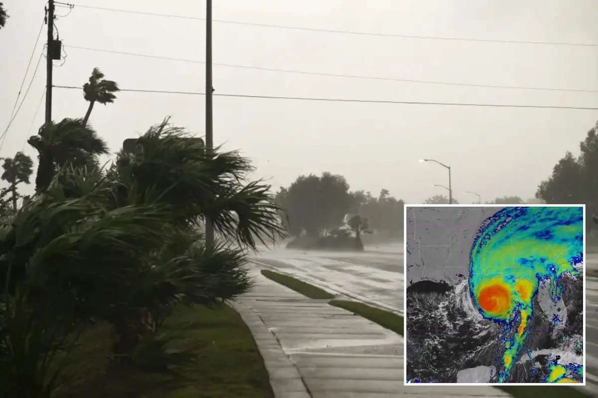

Hurricane Isaias made landfall along the western Florida Panhandle near Destin as a Category 2 storm late Friday evening, packing maximum sustained winds of 105 mph.
Follow live updates on Hurricane Isaias to track the storm’s path, get the latest news, and more
The National Hurricane Center confirmed the center crossed the coast around 8:30 p.m. CDT, with the eye moving inland while hurricane-force winds and life-threatening storm surge battered coastal communities from southern Alabama into the Florida Panhandle.

A storm surge warning is in effect for the mouth of the Mississippi River to the Suwannee River in Florida, according to the National Weather Service and a hurricane warning is in effect from Ocean Springs, Mississippi to the Bay/Gulf County Line in Florida.
Residents under hurricane and storm surge warnings faced rapidly deteriorating conditions as the system pushed northward at about 18 mph.

Forecasters warned of 6 to 9 feet of inundation along portions of the coast east of the landfall point, along with damaging winds expected to extend well inland into southern Alabama.
Heavy rainfall of 4 to 8 inches, with isolated totals up to 15 inches, raised the risk of flash flooding across the region through the weekend as Isaias weakens and tracks toward the Tennessee Valley.
This is a developing story. Please check back for updates.
