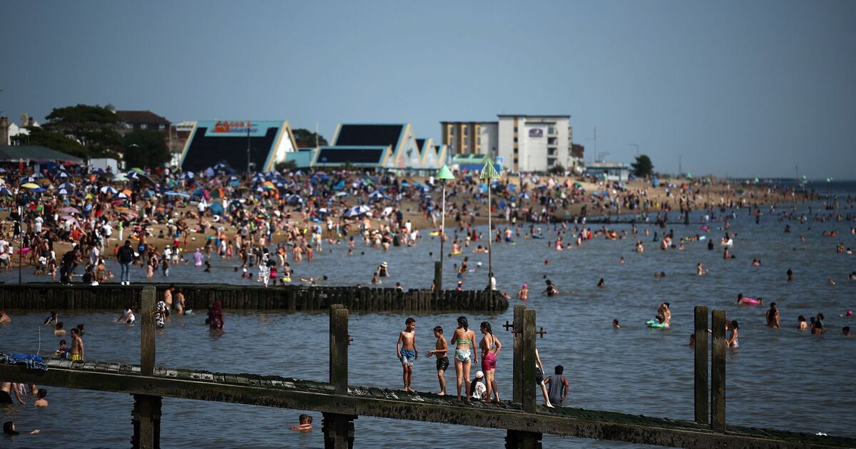
Britain is set for a brief burst of summer as weather charts reveal temperatures could climb as high as 25C in parts of England later this month.
Netweather maps show a pocket of hot air sweeping across the country on Thursday, September 18, with the southeast and East Anglia tipped to see the warmest conditions. Counties including Essex, Kent, Suffolk, and Cambridgeshire are expected to reach the top temperatures, with much of central and southern England basking in the low-to-mid 20s.
Here are the counties likely to be the hottest on Thursday 18 September:
Essex
Kent
Suffolk
Cambridgeshire
Norfolk
Bedfordshire
Hertfordshire
Buckinghamshire
Greater London
Surrey
West Sussex
These counties are shown in the deep orange/red zone on the map, where temperatures peak around 24–25°C.
Further north and west, the outlook is less settled. Maximum temperatures in Scotland, Northern Ireland, and much of northern England are forecast to remain between 13C and 18C, with more cloud, showers, and blustery spells likely.
The Met Office long-range forecast for September 9–18 suggests the overall pattern will be dominated by low pressure, meaning unsettled conditions with showers, longer spells of rain, and possible thunderstorms, particularly in the west and north.
Hail and strong winds are also possible if deep areas of low pressure develop.
However, forecasters note that during the latter part of the period, higher pressure could build across the south, bringing longer dry spells, more sunshine, and the spike in temperatures seen on the weather models.
While overall temperatures for the period are expected to be close to or slightly below average, southern England could briefly rise well above average if sunshine holds.


