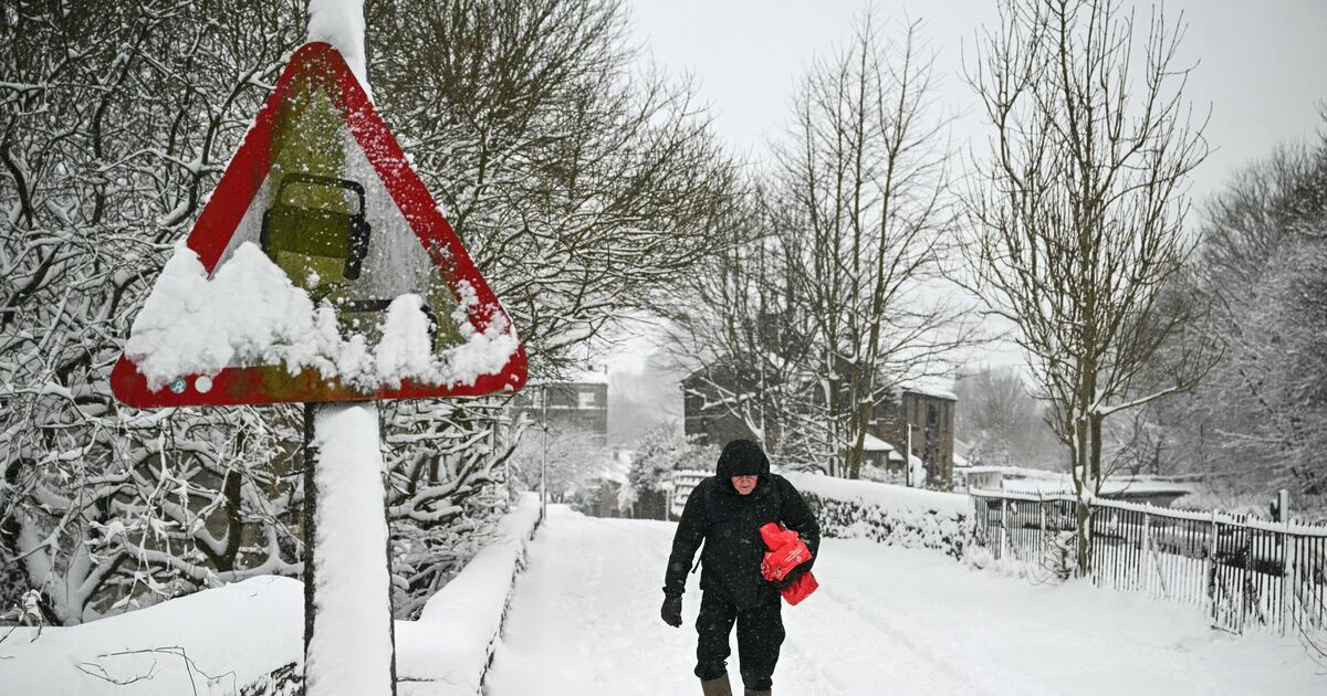
Several areas in the UK are likely to be battered by snow for 96 hours as the weather maps turn white and purple in a -3C polar blast.
According to the weather maps by WXCharts, the snowy conditions are likely to remain in the country from 6am on February 20 till 6 am on February 24.
The maps, prepared using the Metdesk data, show most of the cities covered under the snow as the wintry conditions settle in.
Maps show that on February 20, northern areas such as Inverness, Portree, and Fort William are likely to experience some snow showers, and other areas in the country, such as Cardiff, Birmingham, and London, will see snowy weather.
By the evening of February 20, almost entire country is likely to witness snowy conditions, the maps have suggested.
The weather maps predict heavier snowfall in the northern areas, with around 35cm of snow accumulating around Fort Williams by February 20.
The maps suggest that other cities such as Manchester, Newcastle, and Birmingham will see snowfall of around 6-8cm.
The temperature levels are likely to oscillate between -3C to 0C during this period across the various cities.
It comes as a yellow Cold-Health Alert has been issued by the UK Health Security Agency (UKHSA) for the South East of England, and parts of northern England. It is currently valid from 9am Friday until 9am on February 11.
Looking at the weather ahead, the Met Office stated: “The area of high pressure is expected to be centred over Scandinavia throughout next week and toward the middle of the month. This pattern leads to a cold, east or southeasterly air-flow across the UK. As mentioned, this will be accompanied by some light rain and hill snow early next week, mainly in the south of the UK, before drier conditions become established later in the week.”
The Met Office’s long-range forecast between February 13 and March 9 reads: “An easterly or south-easterly wind is likely, with cold and cloudy weather continuing at first. Atlantic Low pressure however is inching closer to the British Isles, with bands of rain gradually moving into western parts.
“It is also possible that this might fall as snow initially as precipitation initially runs into resident cold air. Eastern areas of the country will hold on to relatively drier conditions for longer, but it will still feel cold under the cloud and wind. It is possible however that the cold, cloudy easterly or south-easterly theme continues.
“Eventually though it is thought that low pressure will push frontal bands of rain across much of the UK by the end of the week, with wind and rain becoming the dominant feature of the weather.
An unsettled theme will probably have become established by this time, with weather systems moving close to or across the UK from the Atlantic.
“This will mean bands of rain and perhaps periods of strong winds spreading in from the west, interspersed with some drier and brighter interludes. Temperatures are most likely to be close to average overall.”

