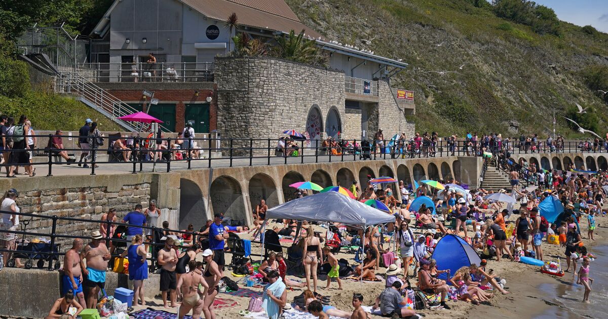

The exceptionally warm and humid summer experienced by Brits so far this year isn’t over yet – with temperatures expected to rise well above average in just a few weeks’ time. The UK has already recorded three heatwaves – consecutive days of above-average temperatures – this year, and the Met Office has ranked the season as among the top 5% on record for notable warmth. While the settled and balmy conditions have recently been disrupted by a spell of thundery – but still humid – weather, maps from WXCharts show that a return to dry and boiling temperatures is on the way, maybe sooner than you think.
Parts of southeast England, around London, Surrey, and Kent in particular, will see the mercury shoot back up to 32C on Tuesday, August 5. This is not far below the highest temperature recorded in the country this year, 35.8C in Faversham on July 1. The blast of hot air is expected to hang over southern regions for over 72 hours, with temperatures also set to reach 30C in the West Midlands and southwest on Thursday, August 7.
The predictions could see the mercury soaring well above average monthly forecasts, which hover around 23C during the day and 15C at night, according to weather maps, although northern regions appear largely exempt from the early August heatwave.
Northwest and northeastern England and Scotland will see temperatures remain in the mid to high teens between August 5 and 7, slightly below seasonal averages.
The divide between north and south could be driven by high pressure systems moving over the Channel from mainland Europe, ushering in dry and settled weather to just part of the country early next month.
While there is a chance of the weather pattern “extending its influence” across the wider UK as August progresses, very warm and hot spells are likely to be confined to the south and east, the Met Office’s long-term forecast says.
For northern and westerly areas, meanwhile, “a changeable pattern will likely continue into the start of August, with spells of rain or showers mixed in with some drier, brighter days”.
Similar conditions – albeit with likely humid temperatures – could be in store for the whole of the country during the remainder of July, the weather agency warns.
“Temperatures are likely to be near to average or slightly above average for the time of year” this month, a spokesperson said, accompanied by “a weather regime dominated by westerly winds and showers or longer spells of rain”.
