
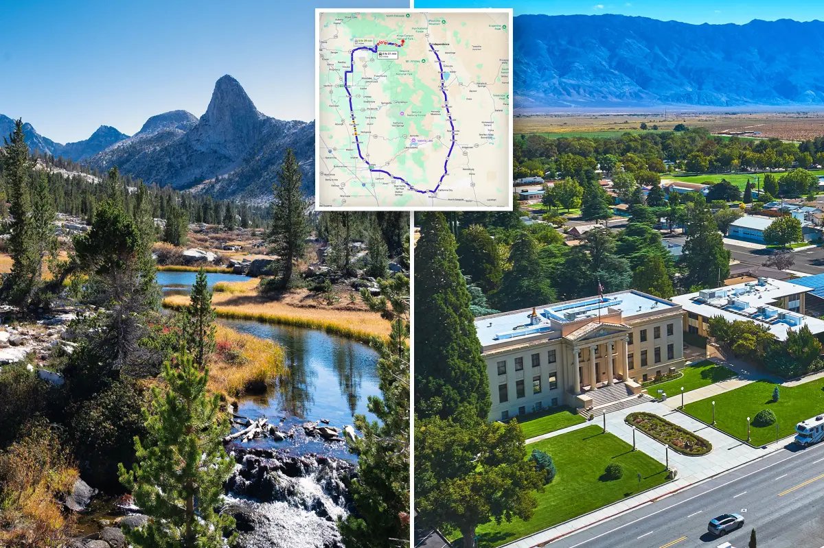


They’re just 20 miles apart but separated by a 350-mile trip.
Welcome to the stunning mountain towns of Kanawyers and Independence.
The two tiny California outposts are practically neighbors, but are split by the vast Sierra Nevada mountain range.
Nicholas J. Klein – stock.adobe.com
The rugged cliffs between the two spots soar above 13,000 ft. and include imposing peaks like Mount Williamson and Mount Tyndall.
That stretch of the range is so wild and steep that no road has ever been built across it. The result? A comically long detour.
To travel between the two towns by car, drivers must head west out of Kings Canyon, wind down through California’s Central Valley, swing south toward Bakersfield, skirt the edge of the Mojave Desert and then climb back north along US Route 395 on the eastern side of the Sierra.
That scenic loop turns a short 20-mile hop into a journey of roughly 350 miles — and more than six hours behind the wheel.
Hikers, however, have a much shorter trip.
Backpackers trekking through the high Sierra on trails near Kings Canyon can cross the mountains in a fraction of that distance — though they’ll need strong legs and a good sense of adventure.
For drivers, though, the Sierra Nevada still wins the battle — enforcing one of California’s strangest road trips.
