
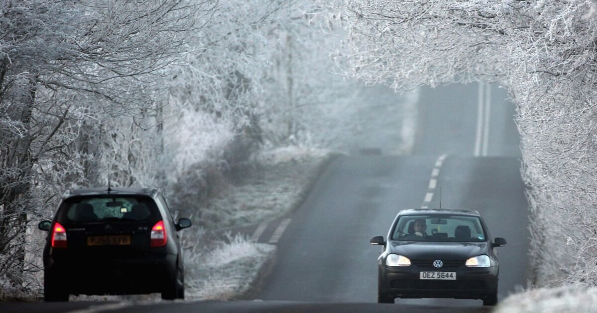

A “Beast from the East” is likely to hit the UK in weeks as the temperature level plunges to unbearable -10C. According to the latest weather maps, the freezing conditions will begin to hit the country at around 6am on January 25 leaving whole of the UK shivering in the cold.
The WXCharts maps suggest that a dramatic weather front will move towards the UK from the East, bringing a colder spell to areas around Newcastle, Leeds, Birmingham, London and Aberdeen. The lowest temperatures could be seen around Inverness with a massive -10C polar freeze. However, even the southern parts of the country, including London, Birmingham, and Manchester, will see temperature levels oscillating between -4C and -3C, the maps have suggested. Flurries could be seen around Dundee, Aberdeen, and Glasgow in Scotland, and there are slight chances that parts of Newcastle and Manchester could also see some snow, as per the maps.
The ‘Beast from the East’ is a phrase used to describe cold and wintry conditions in the UK as a result of easterly winds from the near continent. According to the Met Office, when pressure is high over Scandinavia, the UK tends to experience a polar continental air mass.
It explains: “When this happens in winter, cold air is drawn in from the Eurasian landmass, bringing the cold and wintry conditions that give rise to the ‘Beast from the East’ moniker.”
The Met Office’s long-range forecast from January 26 and February 9 reads: “Low pressure is likely to continue to dominate the UK, at least at first, meaning an ongoing likelihood of further spells of rain and windy conditions from time to time.
“That said there should also be some brief interludes of drier weather too. Temperatures probably remaining close to average, particularly in the south, but there is the possibility of colder conditions, associated with higher pressure extending from the north or northeast, returning to northern areas around the turn of the month.”
BBC’s long-range weather forecast for the period hints of some “colder flows”. It reads: “The broad circulation pattern should linger through to the end of January and start of February, with mild west to south-westerly winds often present, and Atlantic low pressure systems bringing further bouts of wet and windy weather.
“Chiller interludes between systems, mainly in the northern UK, should be short-lived, and there is little sign of any return to a lasting cold regime. Any wintry showers should be confined to Scotland’s uplands, and temperatures are most likely to average out above normal.
“Uncertainty inevitably increases this far ahead, however, and there are suggestions of high pressure building at higher latitudes, possibly over Scandinavia. If that were to develop more strongly, then there would be a chance of some colder flows, so that’s something to keep an eye on. However, it’s not the favoured outcome at the moment.”
