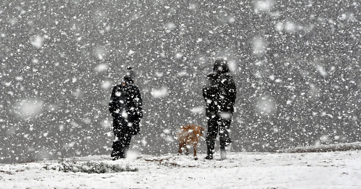
Snow could batter parts of the UK this month as weather maps show a brutal cold snap is set to sweep across the country. The coldest temperatures are expected in parts of Scotland, where it could dip to freezing from Inverness to Fort William and down to Glasgow.
A couple of centimetres of snow could fall south of Inverness, and a band of rain could also batter much of the UK on October 22, completely covering Wales and the Midlands, according to weather maps by WXCharts. Up to 3mm of rain could fall overnight in Birmingham, Cardiff, Manchester and Plymouth, with only small parts of southeast England likely to stay dry.
Northwest England could also miss out on the rain, as well as the west of Scotland and Northern Ireland.
The rest of the UK on October 22 could feel particularly cold as temperatures dip to single figures, with London forecast a cool 9C overnight, and Newcastle a breezy 5C.
The Midlands has been predicted to sit around 6C, but parts of east England in Norfolk and Suffolk could reach between 10C to 12C. The majority of Scotland will stay cool below 5C overnight.
In Wales, temperatures have been forecast to peak at 5C on the southwest coast, while Northern Ireland will sit between a chilly 3C and 4C.
The Met Office has predicted unsettled conditions for the end of October, and close to average temperatures for the time of year.
Its long-range forecast from October 21 to November 4 said: “The final third of October will likely see a transition to more unsettled conditions across the UK, with high pressure relinquishing its grip, though the timing and manner of this is uncertain.”
It added that there is a “greater chance of most, if not all places, seeing spells of rain or showers and possibly strong winds later in the month,” which could continue into the start of November.

