
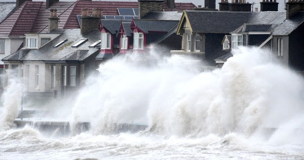

Britain could be battered with monster waves taller than a double-decker bus in the coming days as Hurricane Erin tracks across the Atlantic towards the UK. The Met Office has said the massive meteorological event has stirred up waves higher than five metres in some places, potentially bringing dangerous conditions to coastal areas.
A typical London double-decker bus is only between 14.4 to 15 feet tall, meaning the expected huge swell whipped up by Hurricane Erin would easily swamp one. It’s expected that the tail end of the storm will bring wet and windy conditions to much of the country from Wednesday next week, worsening into Thursday and Friday.
Met Office meteorologist Tom Morgan said it was too early to say which parts of the UK would see the “windiest and wettest” weather. There are also reports that the UK may experience warmer temperatures as hot air is pushed towards the country before the hurricane hits.
But speaking to the Telegraph, Mr Morgan added: “We are also likely to see some very large waves. Ex-hurricane Erin will bring quite a large swell in the sea so we could potentially see waves of four to five metres in height for the western isles of Scotland and Ireland and so for holidaymakers going to the coast, that could prove quite a hazard.”
Hurricane Erin is currently tracking north and east off the coast of the United States having brought down trees and power lines in New Jersey overnight. The category 2 hurricane has reached maximum speeds of more than 105mph.
On Monday dangerous rip currents sparked by the passage of the hurricane swept at least 60 swimmers out to sea sparking a huge emergency rescue operation near Wilmington, North Carolina.
In the US, Erin is forecast to cause possible coastal flooding into the weekend along the east coast but was also expected to lose strength gradually.
The National Hurricane Centre in Miami reported on Friday that Erin had weakened to a Category 1 hurricane, with maximum sustained winds of 90mph, and was located about 490 miles south-southwest of Halifax, Novia Scotia.
Despite being twice the size of an average hurricane, Erin so far has managed to skirt around much of the American Atlantic east coast and several island nations, limiting its destructiveness.
A tropical storm warning remained active on Bermuda, where residents and tourists were told to stay out of the water on Friday. But warnings along the coasts of North Carolina and Virginia were discontinued.
Communities along the mid-Atlantic and southern New England coast could see tropical storm-force wind gusts, according to the National Hurricane Center.
Today:
Chilly to start for some, but another widely dry day with sunny spells developing through the afternoon. Feeling quite warm when the sun appears, though cooler and cloudier across some central areas where the odd spot of drizzle is possible.
Tonight:
Variable amounts of cloud, perhaps with the odd drizzly shower pushing south across parts of England and Wales. Some clear spells here and there, but a milder night for most.
Saturday:
Cloudy for some on Saturday with the chance of an odd shower. Best chance of some sunny spells reserved for the south and west. Feeling increasingly warm as temperatures rise.
Outlook for Sunday to Tuesday:
Chance of the odd light shower Sunday and Monday, but most areas will remain fine with clear or sunny spells. Turning warmer before it become less settled from Tuesday.
