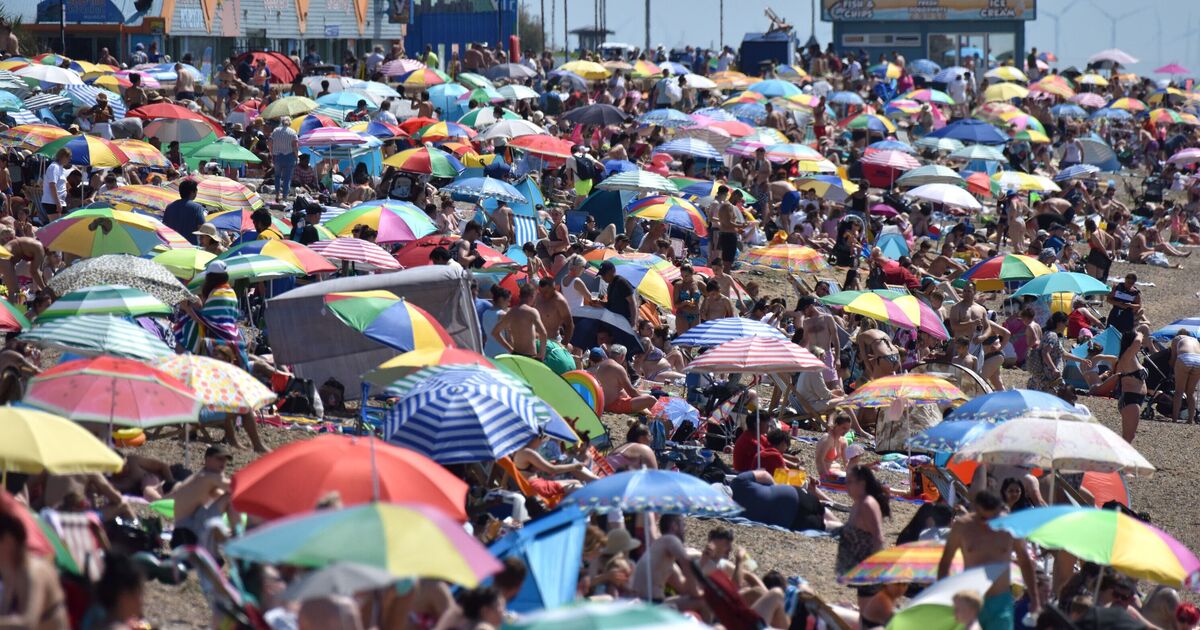
Britain could be heading for a mid-summer heatwave, with new weather maps showing temperatures climbing above 30C for six days straight, and peaking at a sweltering 37C. Forecast maps from WX Charts suggest parts of the UK could be hit by extreme heat between Tuesday, August 12, and Sunday, August 17.
The hot spell would build day by day, with widespread sunshine and high pressure dominating southern and eastern areas. On Tuesday, August 12, the first signs of the heatwave are shown on the maps with temperatures across the south, including London, Kent, and parts of the Midlands, reaching between 30C and 32C. Elsewhere, most of Wales and northern England hover in the low to mid-20s, while Scotland and Northern Ireland remain cooler, around 17C.
The heat could intensify by Wednesday, August 13. Maps from WX Charts indicate that much of central and southern England could see highs between 33C and 34C, with London, Essex, and Gloucestershire showing the highest values.
Temperatures in parts of Wales, the Midlands and East Anglia would also rise to around 30C while Scotland could see the mercury hit mid 20C.
The extreme heat is still in place on Thursday, August 14. The forecast shows widespread 31C to 32C temperatures across southern England, with highs of 32C around London, Surrey, and Kent.
Other parts of England and eastern Wales may also hit the low 30s, while much of the North remains in the 20s.
Friday, August 15, could see similar conditions again, with another day of highs above 30C across central, south, and east England.
The maps show that London and the surrounding counties may reach around 30C, while much of the south west, the Midlands, and south Wales remain at around 31C and 32C. Scotland and the far north still look cooler, with values between 17C and 25C.
According to the new maps, the heat will peak on Saturday, 16 August. The charts show central and much of southern England pushing towards 37C, particularly in areas like Gloucestershire and the Midlands.
Elsewhere, much of the south east, the north and parts of Wales could see 32C to 35C, with even parts of Scotland hitting mid-20s.
Sunday, August 17, will still be hot, although slightly less intense than the day before. WX Charts show temperatures between 30C and 36C across the south and east, with cooler air starting to return to the west and north.
Separately, the Met Office long-range forecast, valid from Wednesday, August 6 to Friday, August 15, suggests a mix of conditions early in the period before high pressure may return.
The forecast says: “As we move towards the middle of the month, there is an increased chance of high pressure becoming more dominant, leading to drier, more settled conditions becoming more widespread and above average temperatures.”
Looking further ahead, the Met Office adds that “high pressure, and therefore fairly settled conditions overall, appear most likely for the second half of August”.
It adds that the east and south of England are “more likely to see hot spells develop”, though brief unsettled weather remains possible.

