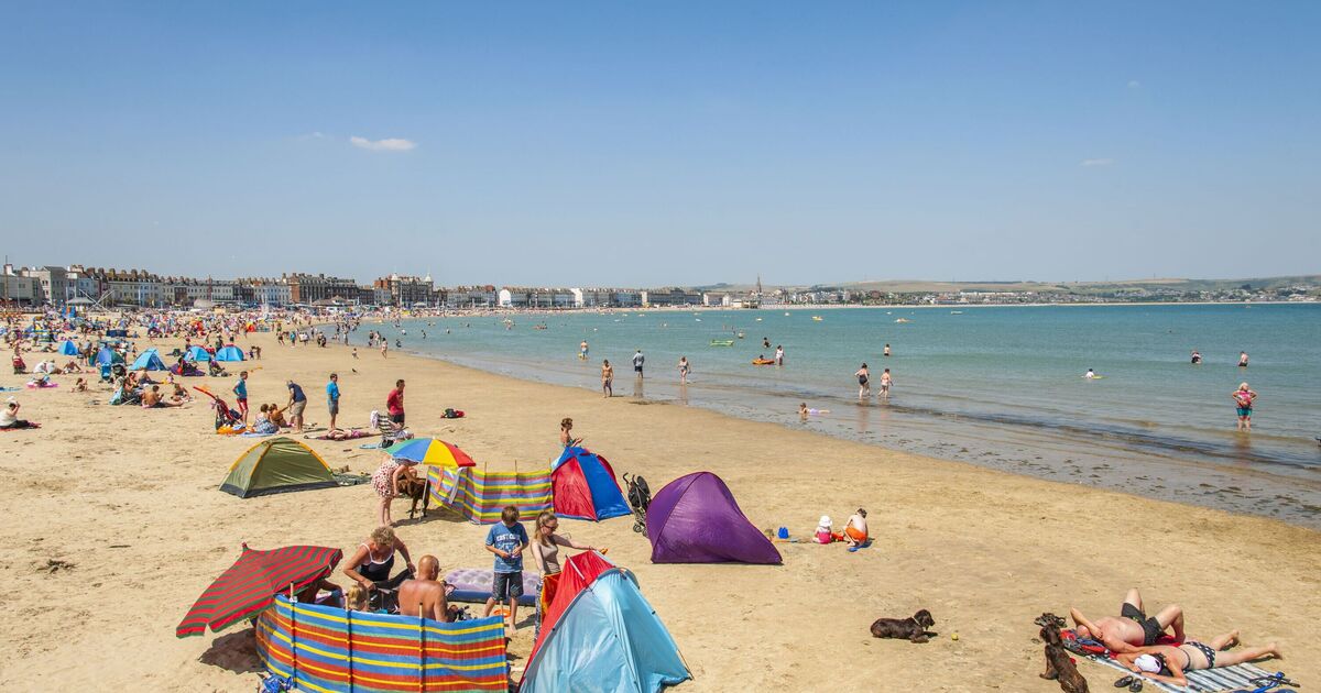
The UK is bracing for a possible fourth heatwave this year as temperatures soar to 29C following rain and thunderstorms this weekend. New maps by WXCHARTS and Netweather have revealed the hot weather is due to hit on July 25, less than a week away. This new wave of hot weather may come as a welcome break from the current stormy conditions, which prompted the Met Office to issue weather warnings this weekend.
The agency has yellow alerts in place from Friday until Monday for rain and thunderstorms, affecting areas from the Scottish Highlands to Cornwall. Next week, however, is expected to bring an end to the wintry weather and a return to heatwaves, of which there have already been three.
South England is predicted to have the highest temperatures in the country, reaching 29C in areas such as London and Berkshire.
The Midlands may also get close to 30C, with Birmingham, Leicester, Wolverhampton, and Coventry all sitting around 27C or 28C.
North England is due to be much cooler, with temperatures averaging around 17C in areas such a Lancashire, Cumberland, and the Lake District.
The 10 hottest cities will be: London, Gloucester, Worcester, Southampton, Portsmouth, St Albans, Leicester, Coventry, Birmingham, and Cambridge.
Separately, the Met Office long range forecast for July 25 to August 2 reads: “Following an unsettled week, drier conditions are expected to extend to most parts for a time during Thursday or Friday.
“By next weekend, a weather regime dominated by westerly winds is likely to become established. While showers or longer spells of rain will remain possible for all parts of the country, the focus of wet weather is expected to be across the northwest.
“More prolonged drier and sunnier interludes can be expected across southern and eastern areas. Likely breezy at times, especially in the north.
“Temperatures are most likely to be near to average for the time of year with only a small chance of hot spells during late July and the start of August.”

