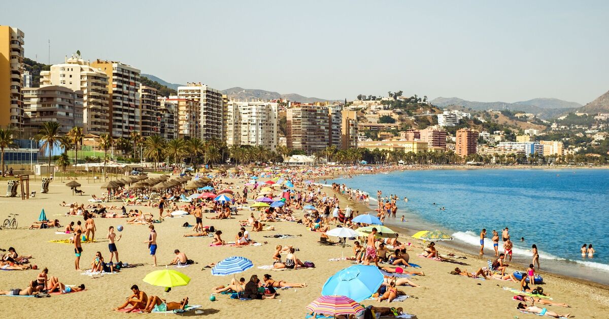
Malaga, the Costa del Sol, and other areas of the province are bracing for what will likely be the hottest episode so far this summer, which has already seen records broken elsewhere in Spain. Spain’s weather service Aemet said the “extremely hot” June, with an average temperature of 23.6C, had “pulverised records”, surpassing the normal average for July and August.
However, there appears to be no end in sight for the time being, as hot land-based “terral” winds are expected to blow in from Friday (July 18) onwards, which will force thermometers to rise once again. Across Spain, an intense heatwave is predicted to descend, bringing with it temperatures as high as 42C. The dreaded hot, dry winds – often dubbed “hairdryer winds” by locals – are set to blast the popular holiday hotspot of Malaga in particular.
Aemet has issued orange heat warnings for large swathes of southern Spain, with the mercury expected to climb relentlessly over the course of Friday. Wednesday (July 16) marked the beginning of the “canícula” – Spain’s statistically hottest period of the year, which runs for 30 days until August 15.
On Friday, orange weather warnings are in place in Sun and Guadalhorce from 1pm on Friday until 8:59pm this evening, with predicted maximum temperatures of 41C. Inland Valencia are also under the same warnings, with highs of 40 to 41C expected. The coast of Alicante and Valencia has a lower yellow warning, but temperatures are still predicted to reach highs of 36C. The Balearic Islands of Ibiza and parts of Majorca are also under yellow warnings, with maximums of 37 to 38C predicted until 6:59pm on Friday evening.
The Huelva town of El Granado – which recently set the June record with 46C – was hit by another blistering 40.7C on Monday, making it the only weather station in Spain to break the 40C barrier at that point. However, many other regions could soon join it.
These “hairdryer winds” are terral phenomena that occur when hot air masses from the interior are funnelled through mountain passes towards the coast, creating furnace-like conditions that can make life unbearable even near the sea.
Juan de Dios del Pino, spokesperson for Aemet in the Andalusia region, said that the terral wind could stay until Monday, helping raise the mercury to between 24 and 26C at night, even more tropical than usual.
“The worst could come on Friday, when a trough will come in and the wind will change to westerly. That is to say, we will probably have the terral wind in the usual areas of the province of Malaga. On this occasion and depending on the time it enters, we could reach the first 40C of summer in Malaga”, said José Luis Escudero in his SUR weather blog “Tormentas y rayos” (storms and lightning).
Authorities are urging locals and tourists to stay hydrated, avoid outdoor activities during the hottest hours and seek air-conditioned spaces where possible.

