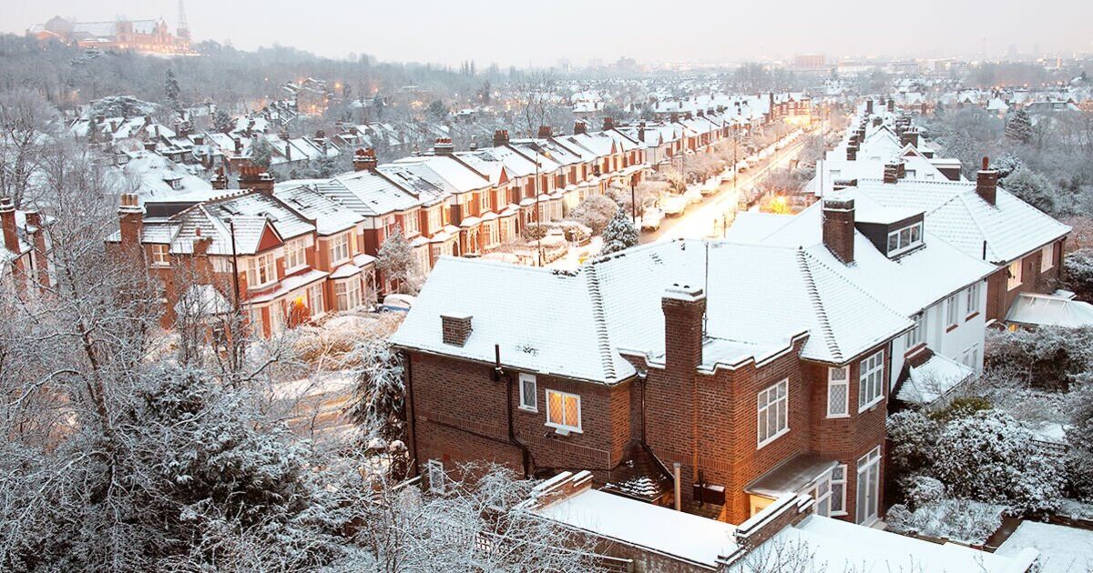

The UK is bracing for a period of unsettled weather in just one week’s time as snow and rain are set to batter the country.
New maps by WXCHARTS have turned blue and purple as a system of bad weather sweeps across from Cornwall in the south to the Scottish Highlands in the north.
According to the forecaster, snow is to fall in both England and Scotland on November 18, exactly one week today, with as much as 22cm being dumped on the Highlands.
In Scotland, areas near Loch Monar and Loch Mullardoch will see a staggering 22cm/hr of snow, but elsewhere the amount will be lower. Other areas of will see between 1-11cm/hr of snow.
In England, snow is forecast in the north, specifically Northumberland, County Durham, and Cumbria. These areas are forecast to get between 1-3cm/hr of snow.
The threat of snow also extends down as far south as Stoke-on-Trent, according to the maps, though most of England will escape it.
Rain is also going to be an issue next week as downpours loom over the south west of England, most of wales, Northern Island, and the Republic of Ireland.
In England, Cornwall and areas of Devon could see up to 5mm/hr of rain on November 18, with the threat extending north to Liverpool, Manchester, and Northumberland.
The Met Office long range forecast from November 15-24 warns of unsettled conditions including rainfall most likely affecting the north and west of the UK.
It reads: “Still mostly dry on Friday, if rather cloudy across many regions. Turning more unsettled into next weekend with low pressure probably becoming established close to the UK bringing rain or showers to most regions.
“The heaviest and most frequent spells of rain are most likely in the north and west. Drier and brighter spells of weather remain possible, particularly in southern regions.”
Snow may fall, the UK weather agency also said, but it will most likely reach “high ground in the north”. It added: “The chance of any widespread or disruptive snowfall is very low.”
The weather agency also said: “Often windy, with a chance of gales at times, especially in the north and east. Temperatures probably near or below average with overnight patchy frost and ice.”
